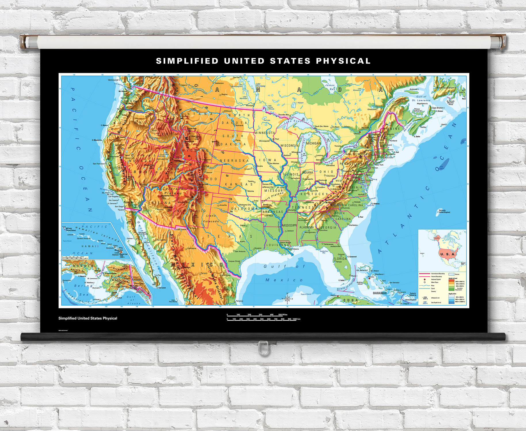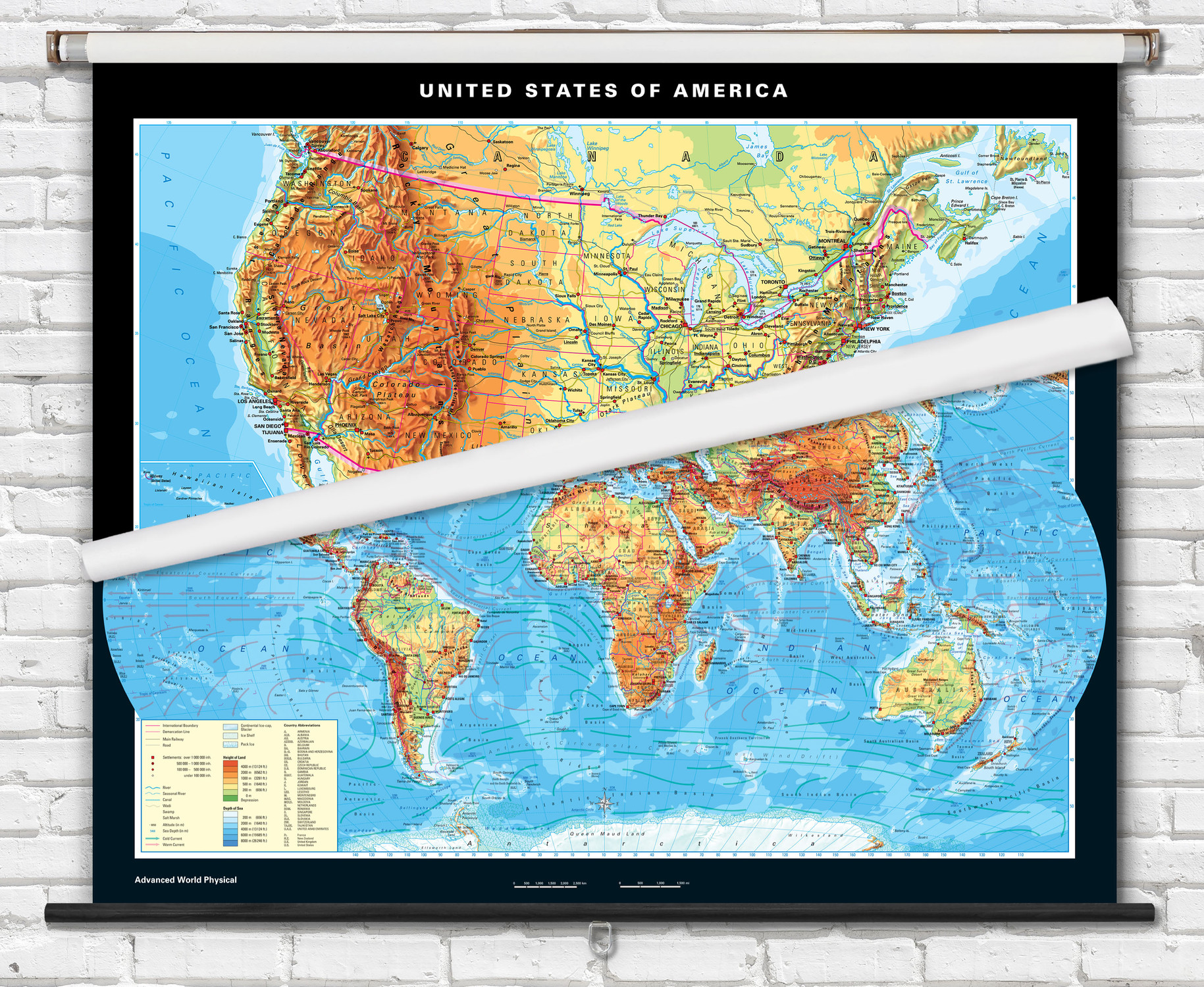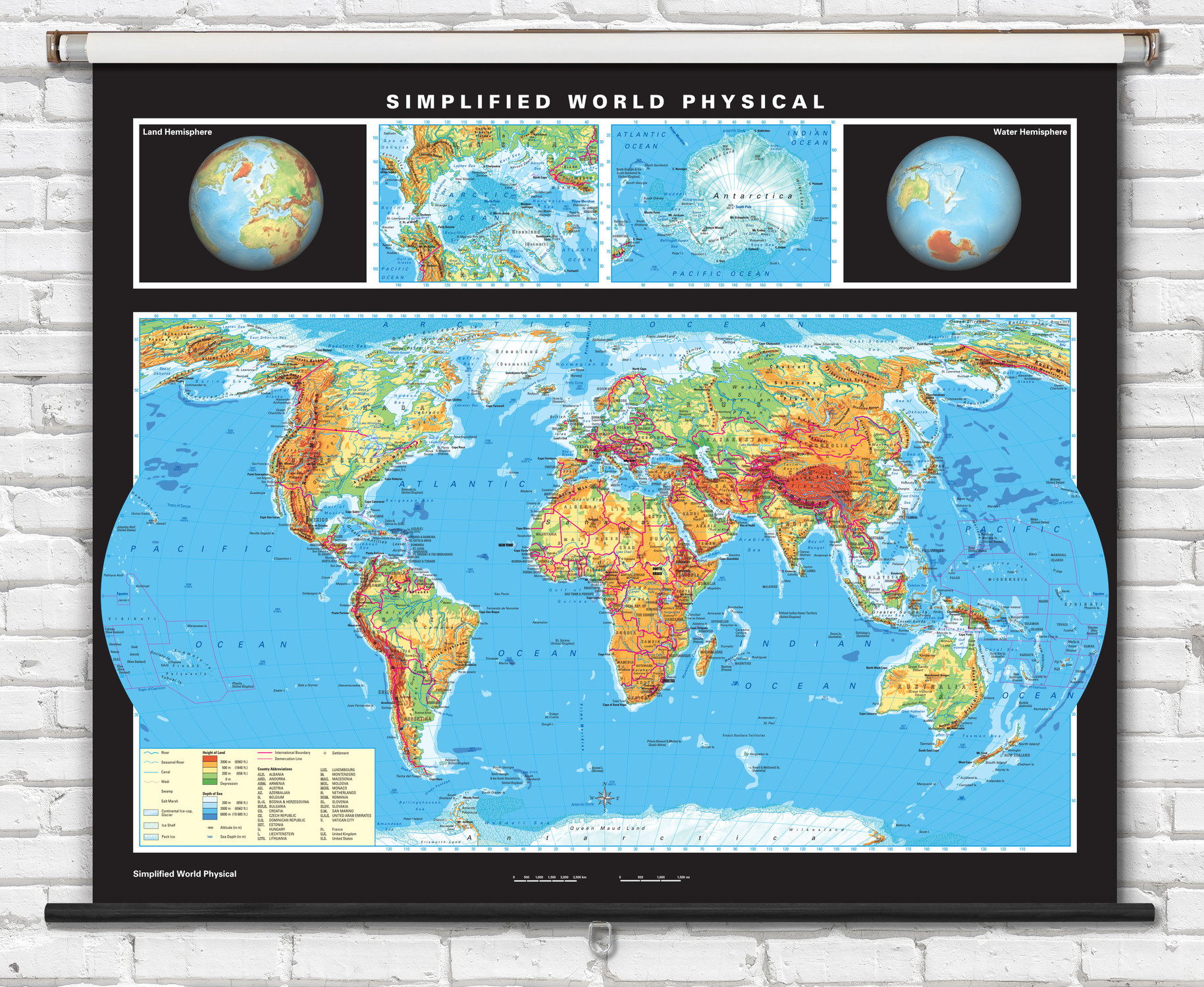
Advanced U.S. Physical Map on Spring Roller - 63" x 40" - from Klett-Perthes
Description
Superior quality classroom maps, from German map publisher Klett-Perthes, follow a tradition that is over 200 years old. Klett-Perthes advanced classroom maps are ideal for teaching physical geography to grades 6-12+.
State borders are outlined and all major cities, capitals, international airports, major railways and highways are labeled.
Physical map features include colorful shading representing topographical relief and ocean depths. Waterways, mountain ranges, peaks, urban areas, deserts and wetlands are all indicated on the map.
Map is printed on strong non-tear markable vinyl, then mounted on a durable metal spring roller with metal backboard. Ready to hang on existing classroom map mounting hardware, or mounting hardware can be purchased separately.
Dimensions: 63" x 40"

Made In The USA

School Purchase Orders


