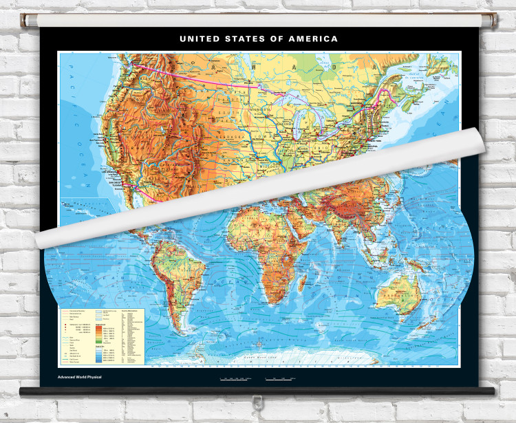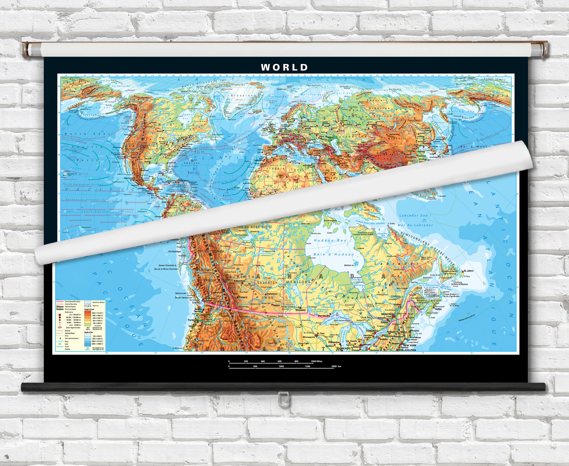
Advanced U.S. & World Physical 2-Map Spring Roller Combo Set - from Klett-Perthes
Description
Advanced Physical World and U.S. Map Combo combines two individual maps onto a single retractable spring roller. Superior quality classroom maps, from German map publisher Klett-Perthes, follow a tradition that is over 200 years old. These advanced classroom maps are ideal for grades 6 through 12. All countries, major cities, capitals, and waterways are labeled. Country political boundaries and state borders are outlined in red.
You can add a physical map of your state to create a United States, World, and State map spring roller combo set. View all of our Academia state physical maps
Physical map features include colorful shading representing topographical relief as well as ocean depths. World map also labels warm and cold ocean currents and features insets for Arctic and Antarctic polar regions as well as Northern Hemisphere and Southern Hemisphere spherical projections.
Maps are laminated and mounted on strong non-tear Kimdura, then mounted on a durable metal spring roller with metal backboard. Ready to hang on existing classroom map mounting hardware, or mounting hardware can be purchased separately.
Dimensions: 63" x 53", (U.S. is 63" x 40")
Shipping Weight: 13 lbs.

Made In The USA

School Purchase Orders


