Advanced World Physical Earth Sciences Map on Spring Roller with Continental Drift & Plate Tectonics Panels
Description
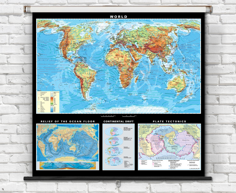
A comprehensive world physical map that is ideal for earth science educational instruction including the study of geology, geography, the lithosphere, and hydrosphere.
- Advanced geo-physical world map features gorgeous hand-drawn shaded relief terrain.
- Detailed hillshading is combined with colorful topographic shading (hypsometric tinting) representing elevation ranges.
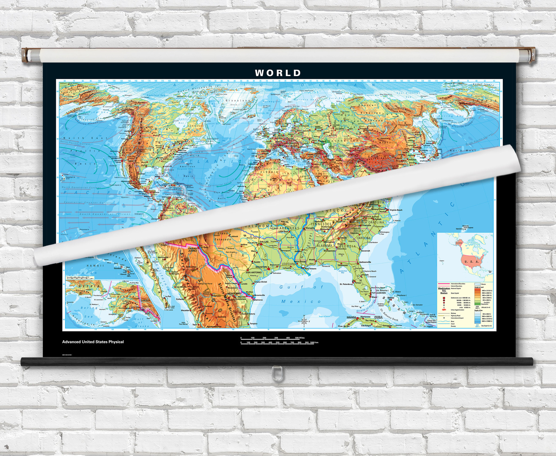
- Features labeled on the world map include countries, capital cities, major cities, seas, rivers, lakes, deserts, mountain ranges, and ocean floor features.
- Map features include country boundaries outlined, warm & cold ocean currents, sea ice, ice shelves, roads, railways, and ocean bathymetry.
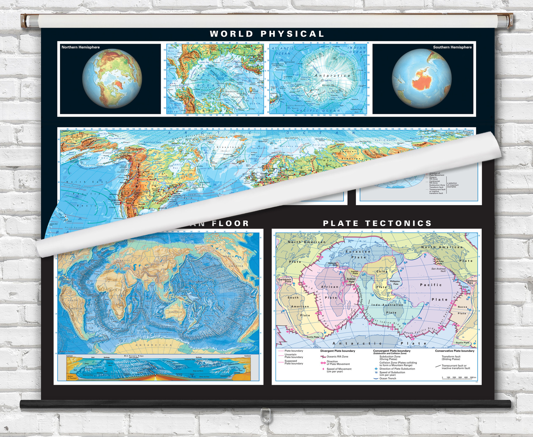
- Panels below the map illustrate geological processes including continental drift and plate tectonics boundary map.
- Ocean floor map inset features an artistic representation of the ocean floor with underwater features identified including ridges, basins, continental shelf, seamounts, and trenches.
- Map is fully laminated with a non-tear markable washable surface and then mounted on a durable metal spring roller with metal backboard for pull-down operation.
- Ready to hang on existing classroom map mounting hardware, or mounting hardware can be purchased separately.
Superior quality classroom maps, from German map publisher Klett-Perthes, follow a tradition that is over 200 years old. This informative world map is an indispensable learning aid for classroom education.

Made In The USA

School Purchase Orders


