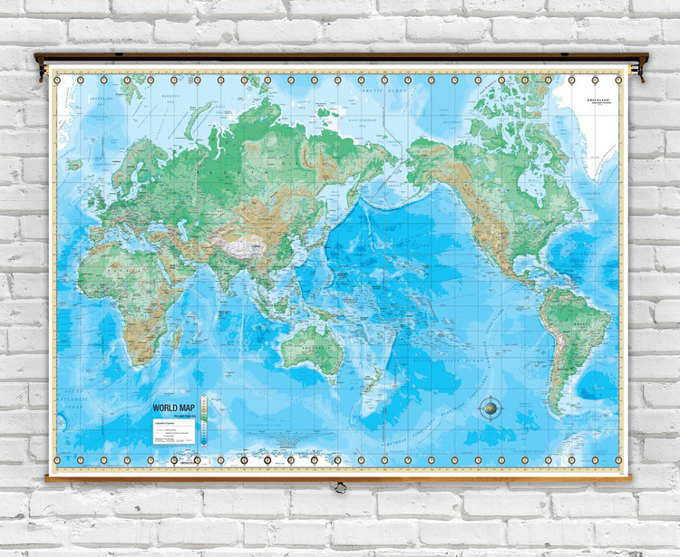
Advanced World Physical on Spring Roller from Kappa Maps
Description
This Advanced physical world map is an ideal educational map for classroom use. Appropriate for grades 6-12, it includes content that meets national and state curriculum standards.
Features a wealth information including country boundaries, capitals, waterways, and major cities. An innovative design centered on the Pacific Rim with colorful intricate shading representing topographic relief and ocean bathymetry. Major mountain ranges, peaks, drainage systems, and deserts are labeled. Time zones are also indicated.
Map has a markable, washable laminated surface, and is mounted on a spring roller. Ready to hang on existing classroom map mounting hardware, or included wall mounting bracket.
This map is also available as part of a multi-mount combination set. Click here to see combo maps from this series.
Dimensions: 64" x 49"
- Spring Roller Mounting - A laminated map is mounted to a heavy-duty pull-down classroom spring roller w/ metal backboard rail for hanging from hooks or included wall bracket.
Ships rolled in a durable cardboard tube.

Made In The USA

School Purchase Orders


