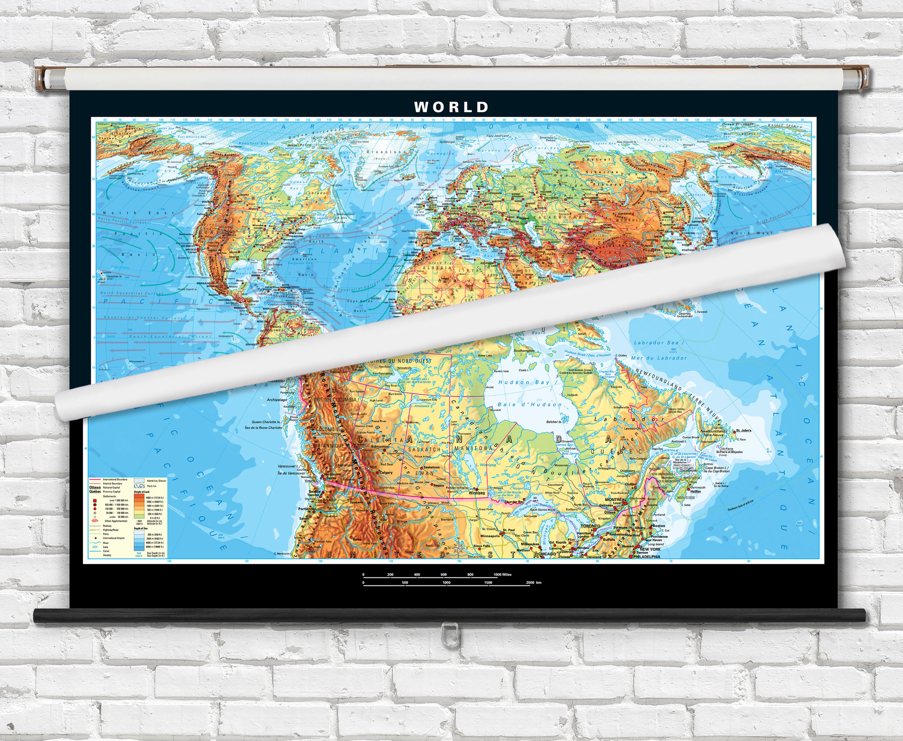
Canada Physical Topography Map on Spring Roller - by Klett-Perthes
Description
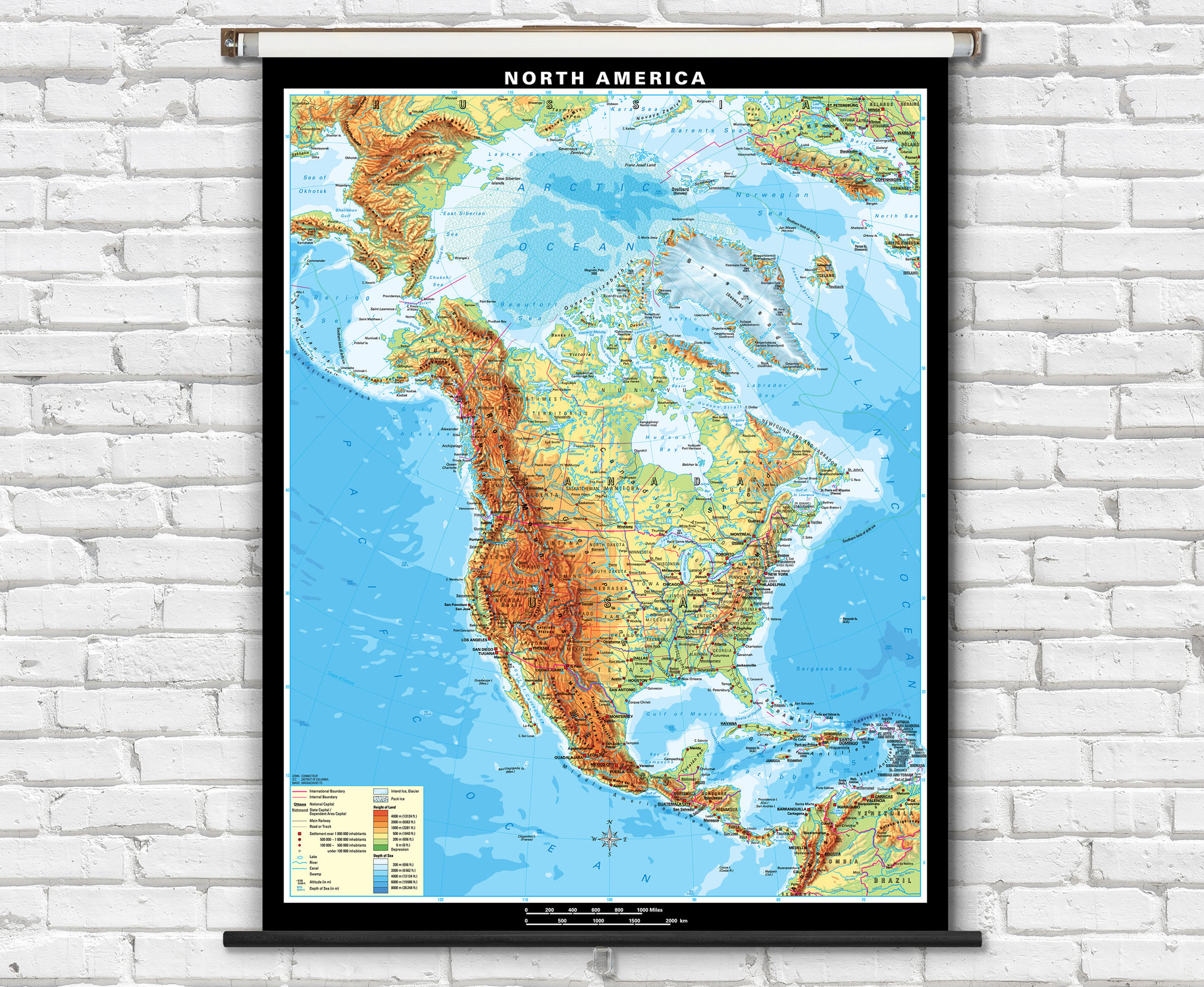
This educational spring roller map of Canada features detailed topography with hand-drawn shaded relief terrain. Colorful shading represents elevations.
Map labels are dual language in both French and English.
Canada physical map features colorful shading representing topography and bathymetry. Canadian provinces and territories are boldly outlined in red. Map displays physical relief, major cities, capitals, roads, railways, international airports, rivers, lakes swamps, and ice.
Superior quality classroom maps from German map publishers Klett-Perthes, following a tradition that is over 200 years old. Spring roller mounted maps are ready to hang on existing classroom map mounting hardware, or mounting hardware can be purchased separately.

Made In The USA

School Purchase Orders


