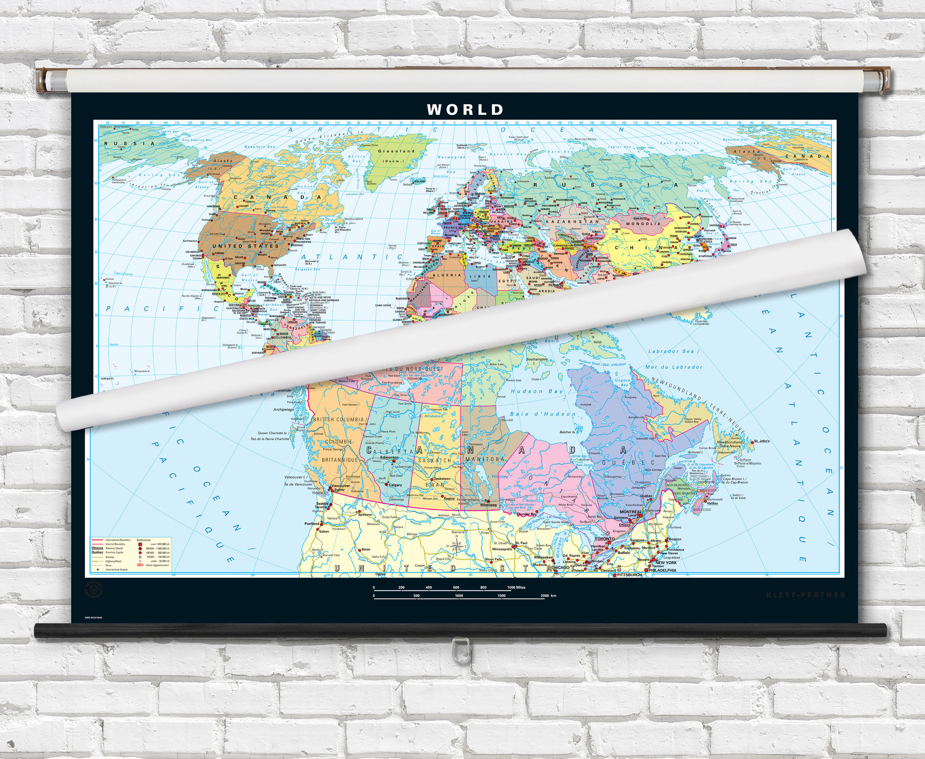
Canada & World Physical Map Combo Set on Spring Roller - by Klett-Perthes
Description
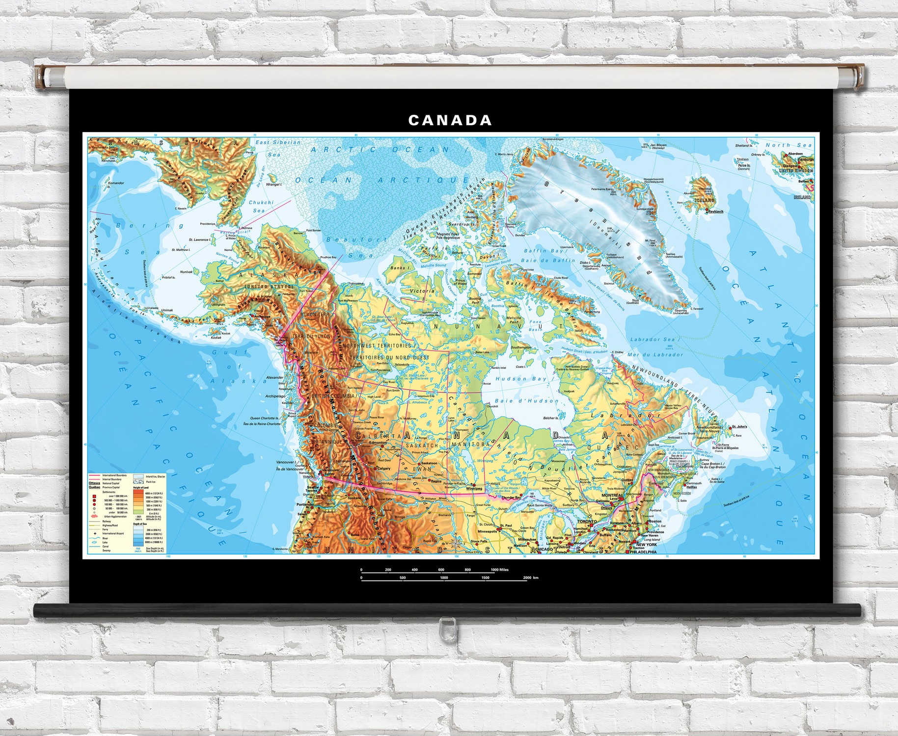
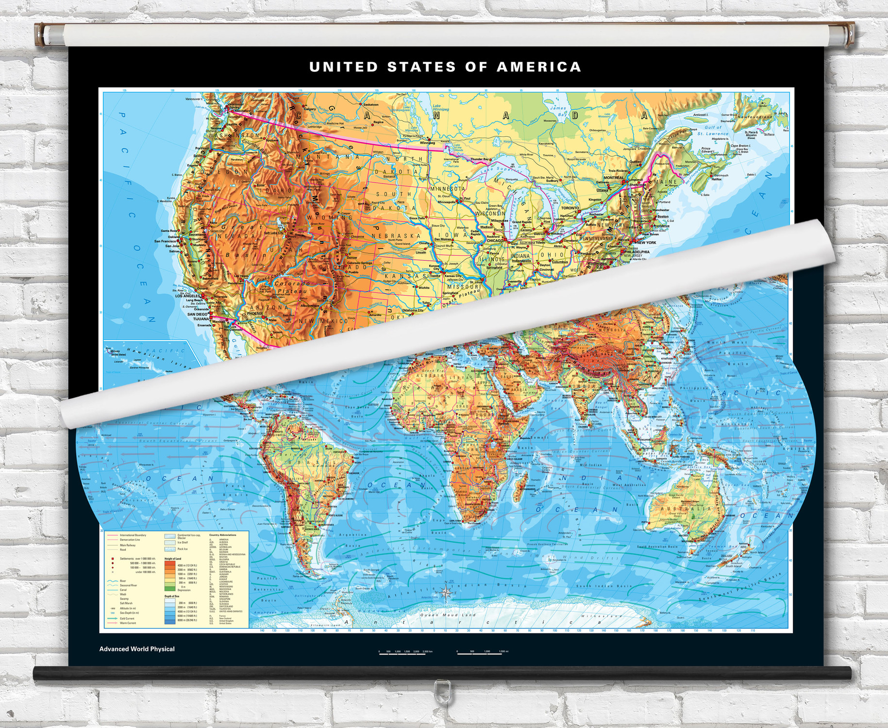
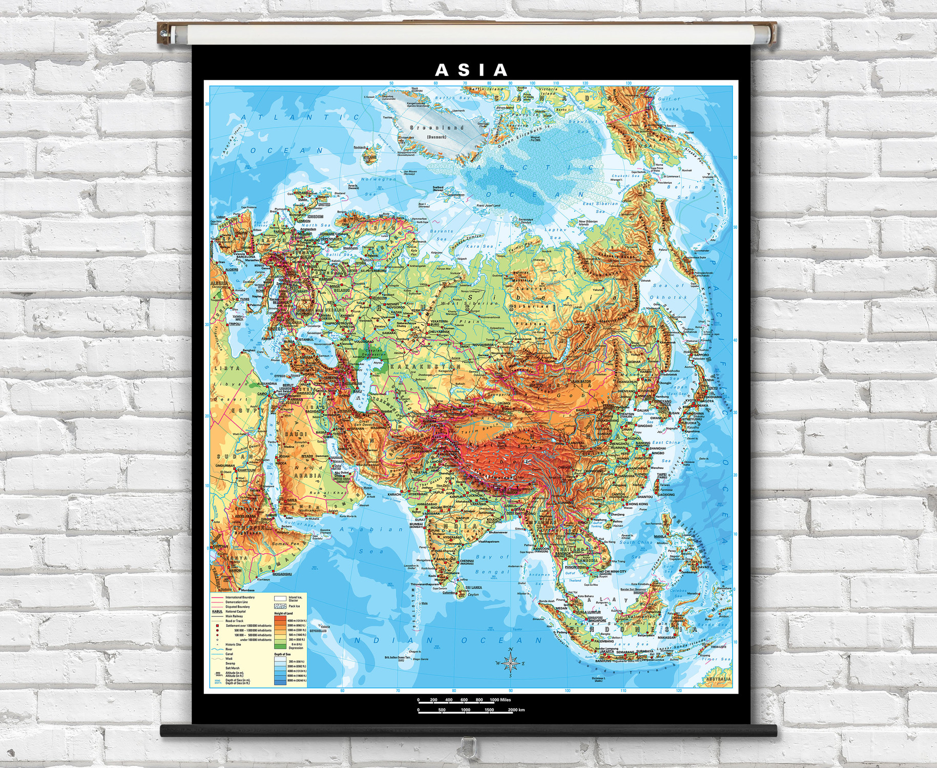
This classroom combo map set features physical maps of both the world and Canada combined on to a single retractable spring roller. The maps feature gorgeous hand-drawn shaded relief terrain combined with colorful topographic shading (hypsometric tinting) representing elevation ranges.
Informative physical maps of Canada and the world that are highly educational and ideal for teaching classroom geography lessons.
- Canada map features provinces and territories boldly outlined in red along with airports, railways, highways, sea ice, urban areas, topography and bathymetry.
- Canada map labels include countries, major cities, national and provincial capital cities, seas, rivers, lakes, and mountain ranges.
- Labels on the world map include countries, capital cities, major cities, rivers, lakes, mountain ranges, seas and ocean floor features.
- World map features include country boundaries outlined, warm & cold ocean currents, sea ice, ice shelves, roads, railways, topography and ocean bathymetry.
- Map is fully laminated with a non-tear markable washable surface and then mounted on a durable metal spring roller with metal backboard for pull-down operation.
- Ready to hang on existing classroom map mounting hardware, or wall mounting hardware can be purchased separately.
Superior quality classroom maps from German map publishers Klett-Perthes, following a tradition that is over 200 years old.

Made In The USA

School Purchase Orders


