Canada & World Political Map Combo Set on Spring Roller - by Klett-Perthes
Description
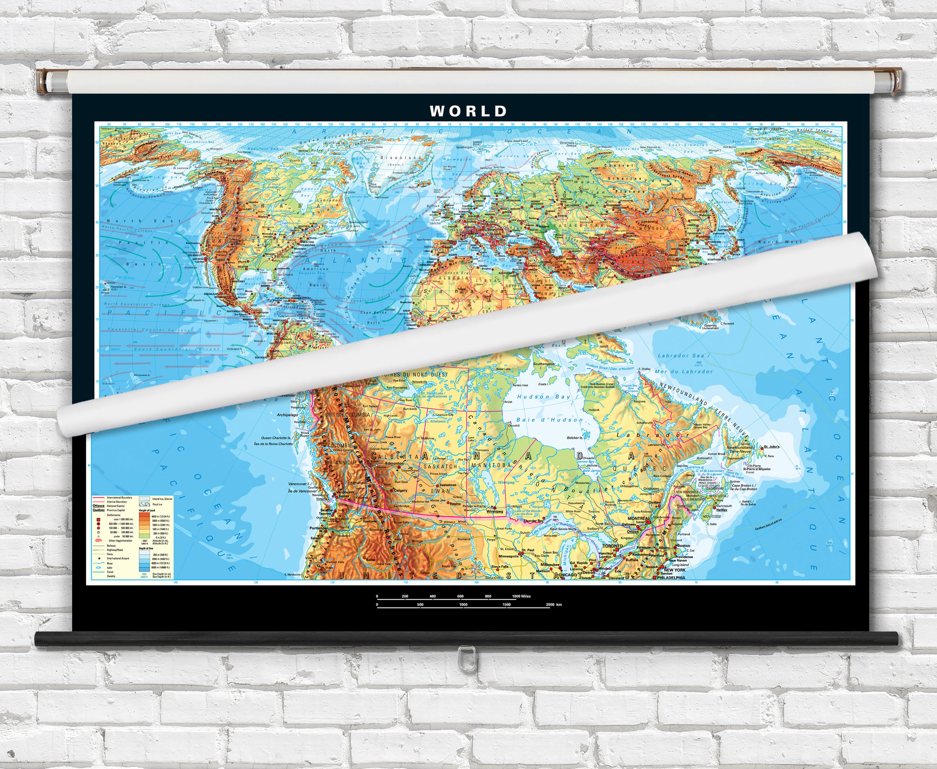
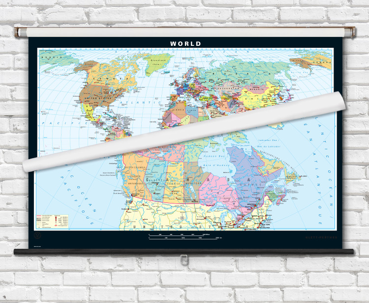
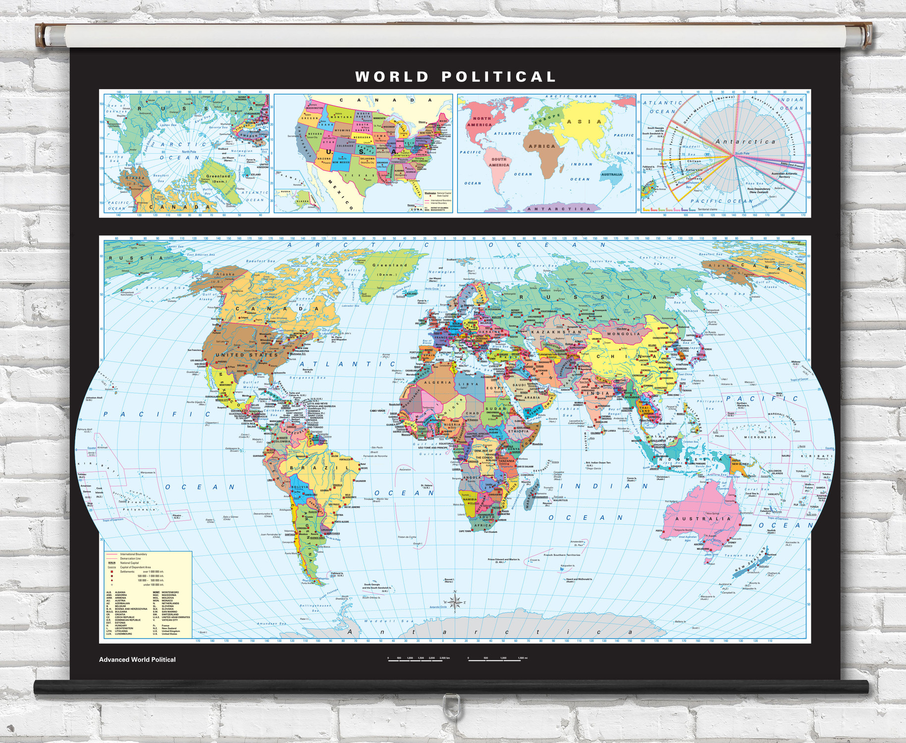
This classroom combo map set features political maps of both the world and Canada combined on to a single retractable spring roller. Colorful and informative political maps of Canada and the world are an excellent educational tool for teaching classroom geography lessons.
The Canada Political Map features:
- Features illustrated include rivers, lakes, railways, highways & roads, international airports, political boundary lines with provinces in contrasting colors.
- Labeled on the map are countries, major cities, provincial capitals, rivers, lakes, seas, provinces, and territories.
- Dual language French and English.
The World Political Map features:
- Countries, major cities, national capital cities, islands, rivers, lakes, and seas are labeled.
- Features shown include rivers, lakes, political boundaries with countries in contrasting colors.
Classroom pull-down map combo sets features:
- Maps are fully laminated with a non-tear markable washable surface and then mounted together on a durable metal spring roller with metal backboard for pull-down operation.
- Ready to hang on existing classroom map mounting hardware, or wall mounting hardware can be purchased separately.
This set is perfect for students, teachers, and anyone else who is interested in learning about Canada and the world.
Order your Canada & World Political Map Combo Set on Spring Roller today!

Made In The USA

School Purchase Orders


