Early Learner Classroom Package from Academia Maps
Description
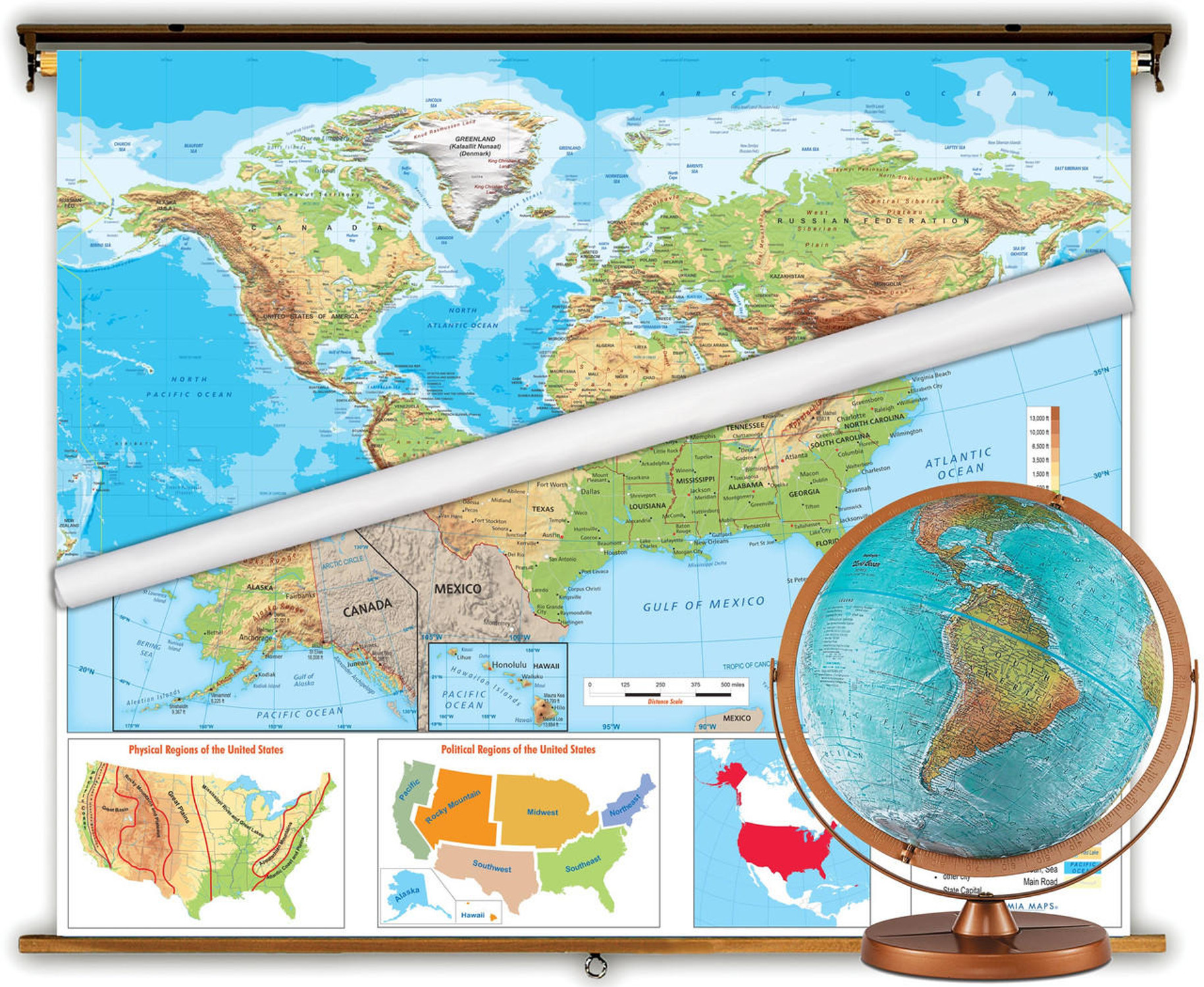
This classroom educational package includes a beginner World and United States map mounted on a single spring roller assembly along with a 25" Hugg-a-Planet globe. A great all-in-one school package to enhance classroom learning.
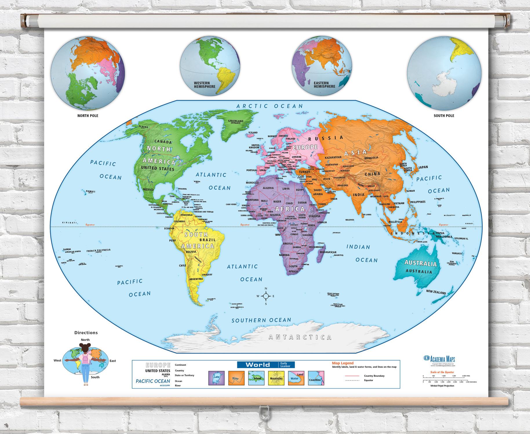
The Academia Early Learner Map series are ideal introductory maps for students in grades pre-K through first grade. Simplified labeling and easy-to-identify land masses make the map perfect for a students first geography lesson.
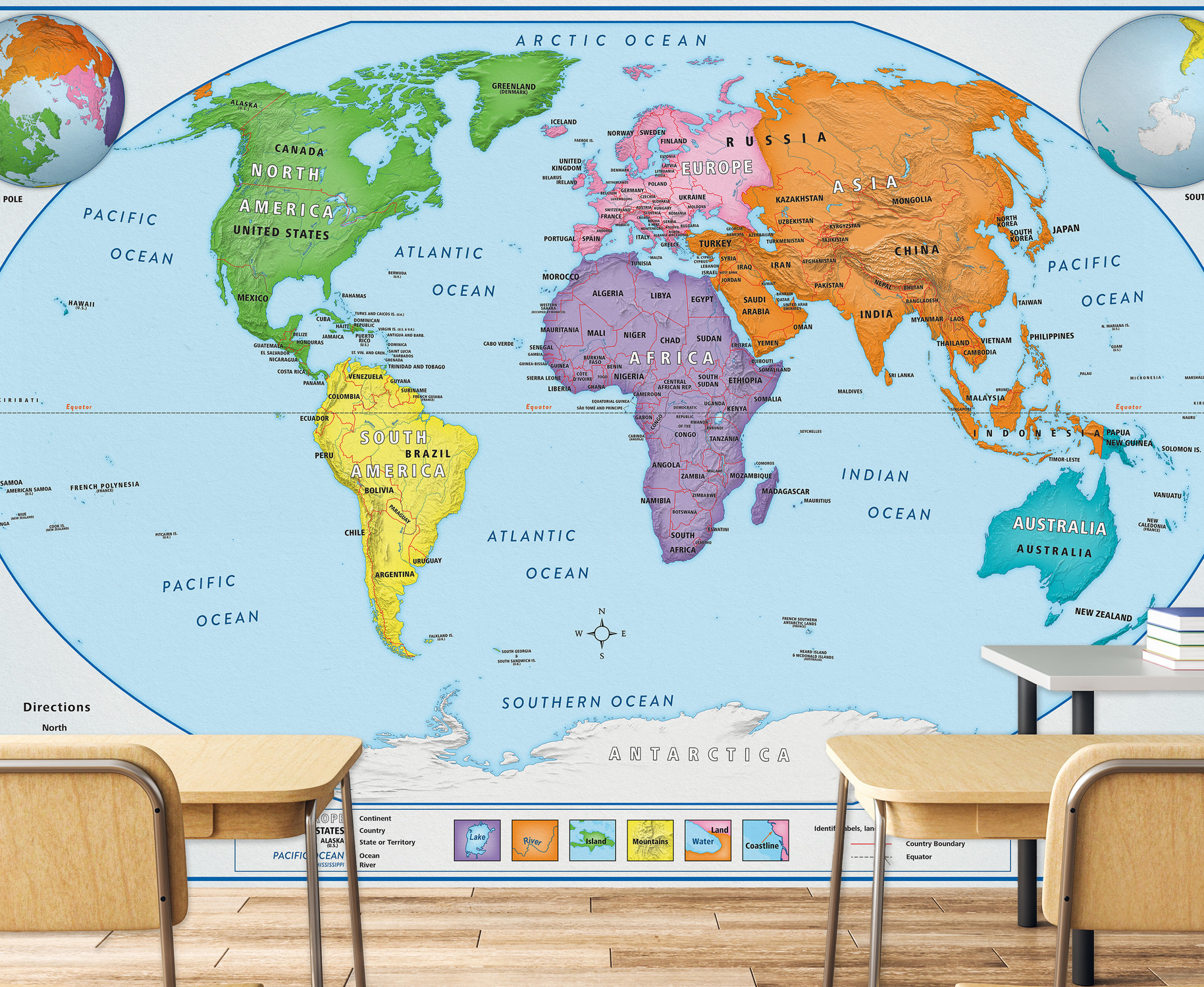
World map features easily identifiable continents in bright c colors with bold text labels identifying continents, oceans, and countries. United States map displays states in contrasting colors with state names and capital cities labeled. Country and U.S. state borders are represented using bold red outlines.
The 25" globe included in this package features basic political details for younger students. The large globe is soft like a pillow making it very approachable to kids. Features 600 place names. Learn more about the Hugg-a-planet here.
Key Features:
- 25" Soft plush globe.
- Clear, simple cartography for early learners pre-K to 1st grade.
- Bold easy to read text labels with colorful map legend.
- Fully laminated markable, washable surface.
- World map insets include various world globe views and illustrated an example showing cardinal directions.
- U.S. Insets include: Alaska, Hawaii, location of U.S. on a World map.
- A colorful legend explains basic map symbol and naming conventions. A map scale is also featured.
- A pictorial legend on each map identifies land and water forms.

Made In The USA

School Purchase Orders


