Elementary School Digital Classroom Map Collection
Description
A complete collection of digital interactive PDF based classroom maps. Everything you need for teaching elementary school geography and U.S. history to students in grades K-5. Each map can be projected onto a screen, displayed on an interactive whiteboard, or viewed on a computer screen. This digital map collection contains 173 different maps.
Includes the Following:
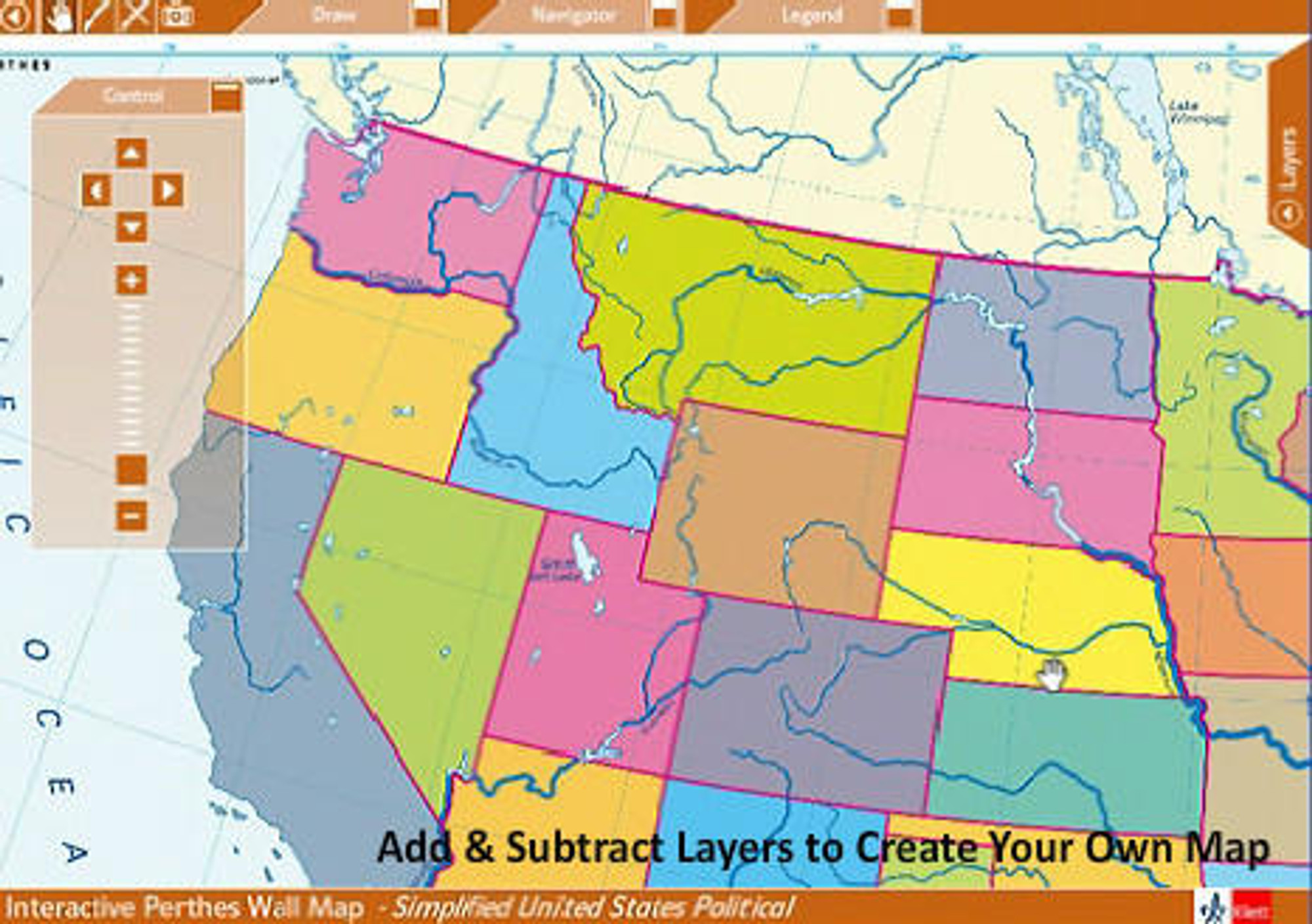
This digital classroom map set is based on a wide collection of PDF vector maps accessed through an intuitive graphical user interface. Nearly all maps in the package feature multiple layers of information that can be turned on or off with the click of a mouse. The flexibility of multiple information layers allows the instructor to create custom maps relevant to the geography lesson plan. It also enables teachers to meet the needs of students at every ability level by displaying only the necessary information.
Since each map is in the Adobe PDF format the user has the ability to manipulate the map using the wide array of tools featured in Adobe Acrobat Reader including: zoom & pan tools, drawing & comment tools, multiple data layers, print or save to an image file.
A school wide site license means you can install the software on every machine in the school or make it available on your school network rather than purchase an individual copy for each computer.
Includes the Following:
|
Since each map is in the Adobe PDF format the user has the ability to manipulate the map using the wide array of tools featured in Adobe Acrobat Reader including: zoom & pan tools, drawing & comment tools, multiple data layers, print or save to an image file.
A school wide site license means you can install the software on every machine in the school or make it available on your school network rather than purchase an individual copy for each computer.
*Please enter the name of the school where the site license will be installed during checkout, if sending a purchase order please be sure the school name is indicated as well as preferred operating system.
Benefits of School Site License:
|

Made In The USA

School Purchase Orders


