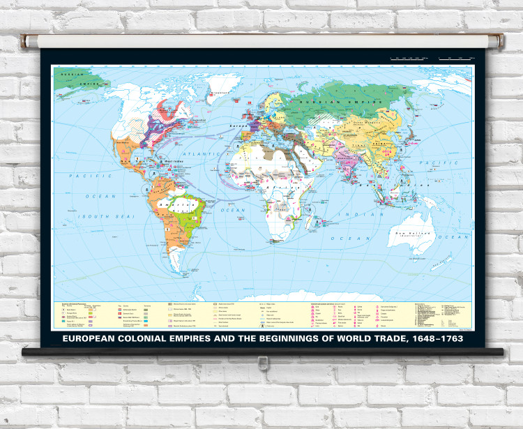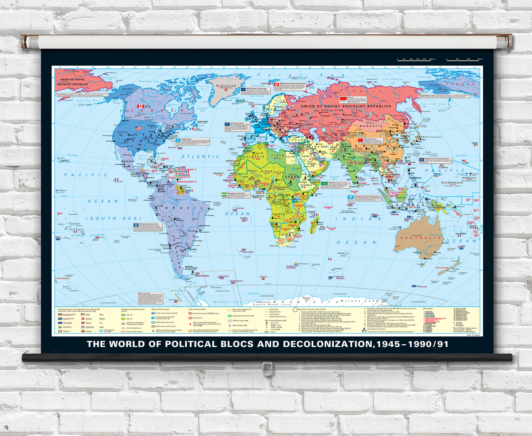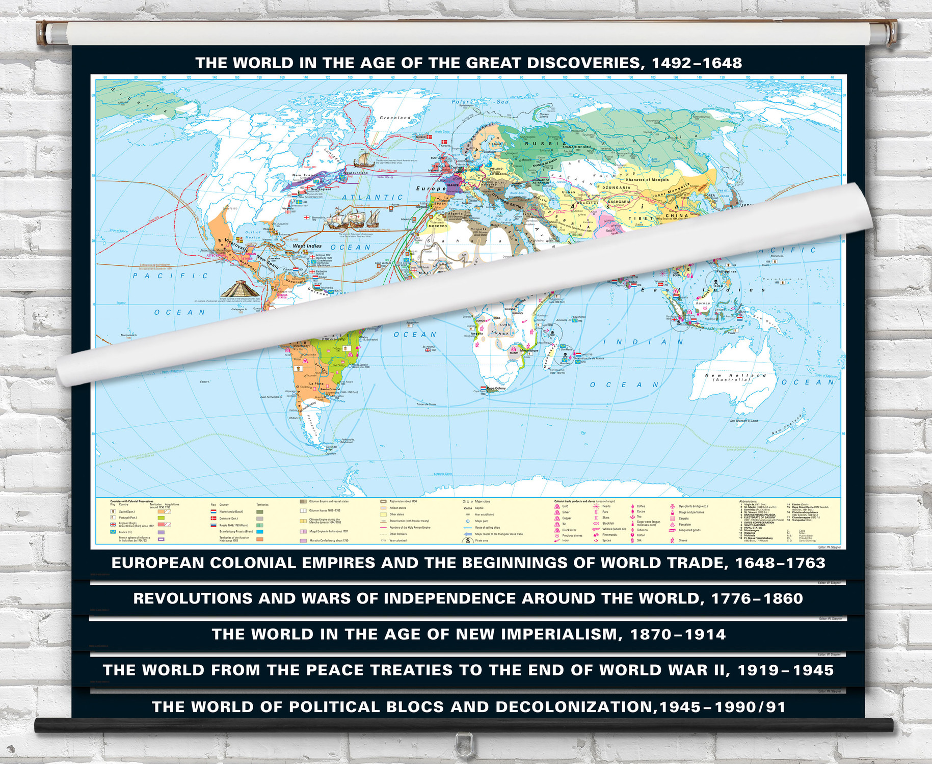
European Colonial Empires and the Beginning of World Trade, 1648-1763 - History Classroom Map - 74" x 50" from Klett-Perthes
Description
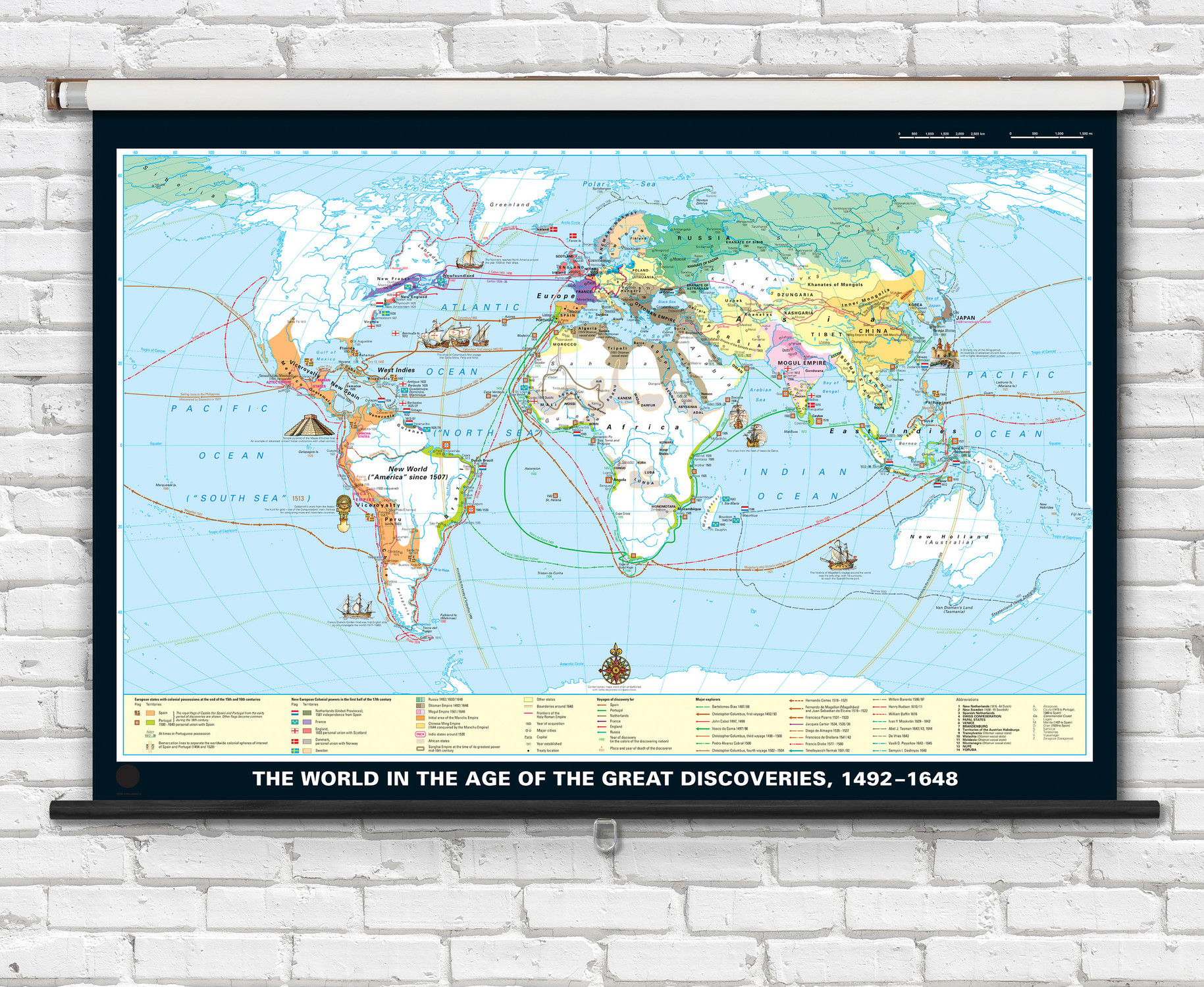
This 74" x 50" classroom map is ideal for teaching about the European Colonial Empires and the Beginning of World Trade. A political map of the world that illustrates the extent of colonial empires across the world using an easy-to-follow color-coded legend. Also depicted on the map are routes of the triangular slave trade as well as routes of sailing ships. The map is available printed on high-quality coated paper, laminated on wood rods, or mounted to a retractable spring roller with metal backboard.
Key features of this map include:
- 74" x 50" size
- Printed on high-quality paper
- Spring roller option for easy storage
- Detailed political map of the world covering European colonization and world trade from 1648 to 1763.
- Map legend helps identify countries with colonial possessions and the year colonized, pirate areas, trade routes, as well as colonial trade products and slaves.
This map is an excellent resource for students studying world history. It is also a great addition to any classroom library.

Made In The USA

School Purchase Orders


