US States, Cities and Regions Historical Maps
We offer a wide selection of thousands of historical and vintage reproduction map prints ranging from stunning illustrated panoramic birds-eye city view maps to old maps covering entire states; each map is a fine art giclee print offered on acid-free archive paper.
We offer a wide selection of thousands of historical and vintage reproduction map prints ranging from stunning illustrated panoramic birds-eye city view maps to old maps covering entire states; each map is a fine art giclee print offered on acid-free archive paper. Historic map prints look absolutely stunning on the wall and are the perfect addition to any decor.

Blue Waterways Historic Maps
Shop 18 products
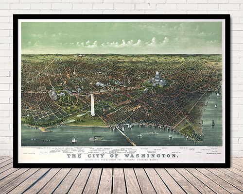
City Maps by State
Shop 1699 products
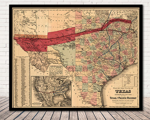
State Maps
Shop 218 products
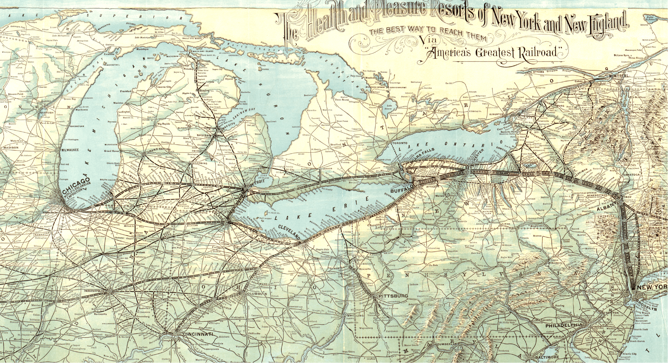
Railroad Maps
Shop 350 products
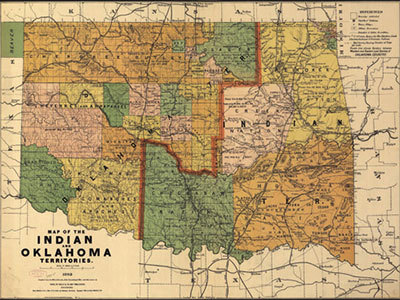
Native American Regions
Shop 44 products
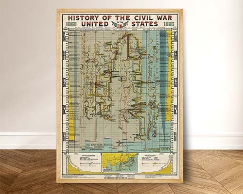
American Revolution & Civil War Maps
Shop 11 products
Historic map prints look absolutely stunning on the wall and are the perfect addition to any decor. These historical documents are the perfect way to discover the past of your favorite cities, satisfy your fascination with history, or utilizing maps for genealogy exploration. The history of the United States has been well documented through maps since the first appearance of America (labeled Terra Incgognita) in Martin Waldseemuller’s Strasbourg edition of the Ptolemy Atlas in 1513. Our extensive collection of historical maps includes maps that illustrate the earliest formations of states and regions as well as maps that depict battles fought during the American Revolution and the Civil War. Panoramic maps of American cities and towns, often called bird’s-eye views or perspective maps, offer a glimpse into the life of a town or city that is “frozen-in-time”, capturing the town as it appeared from an elevated perspective, and often listing prominent businesses and residents. Spanning most of the 19th century, cartographic artists such as Thaddeus Mortimer Fowler, Oakley H. Bailey and Albert Ruger provided maps that served to promote a city’s commercial and residential potential, often featuring architectural renderings of public and commercial establishments, as well as private homes. These maps stand as a testament to American ambition and hope as a newly created nation faced their bright future. We are constantly working to expand our collection of historic maps. Please revisit often to see what’s new.
These historical documents are the perfect way to discover the past of your favorite cities, satisfy your fascination with history, or utilizing maps for genealogy exploration. The history of the United States has been well documented through maps since the first appearance of America (labeled Terra Incgognita) in Martin Waldseemuller’s Strasbourg edition of the Ptolemy Atlas in 1513. Our extensive collection of historical maps includes maps that illustrate the earliest formations of states and regions as well as maps that depict battles fought during the American Revolution and the Civil War. Panoramic maps of American cities and towns, often called bird’s-eye views or perspective maps, offer a glimpse into the life of a town or city that is “frozen-in-time”, capturing the town as it appeared from an elevated perspective, and often listing prominent businesses and residents. Spanning most of the 19th century, cartographic artists such as Thaddeus Mortimer Fowler, Oakley H. Bailey and Albert Ruger provided maps that served to promote a city’s commercial and residential potential, often featuring architectural renderings of public and commercial establishments, as well as private homes. These maps stand as a testament to American ambition and hope as a newly created nation faced their bright future. We are constantly working to expand our collection of historic maps. Please revisit often to see what’s new.