Klett-Perthes Digital USA & World Classroom Maps
Description
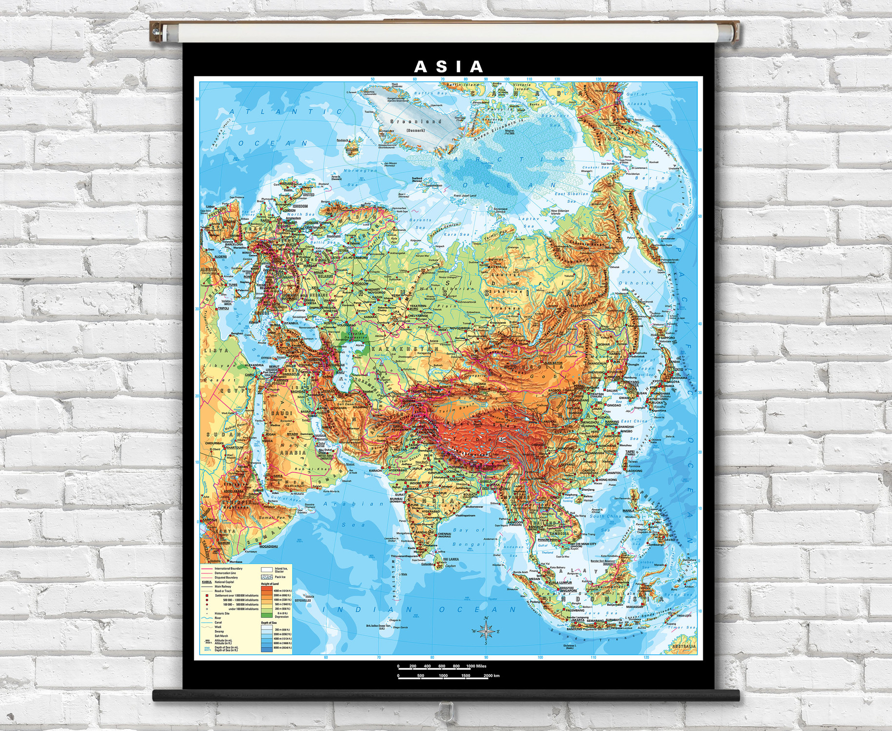
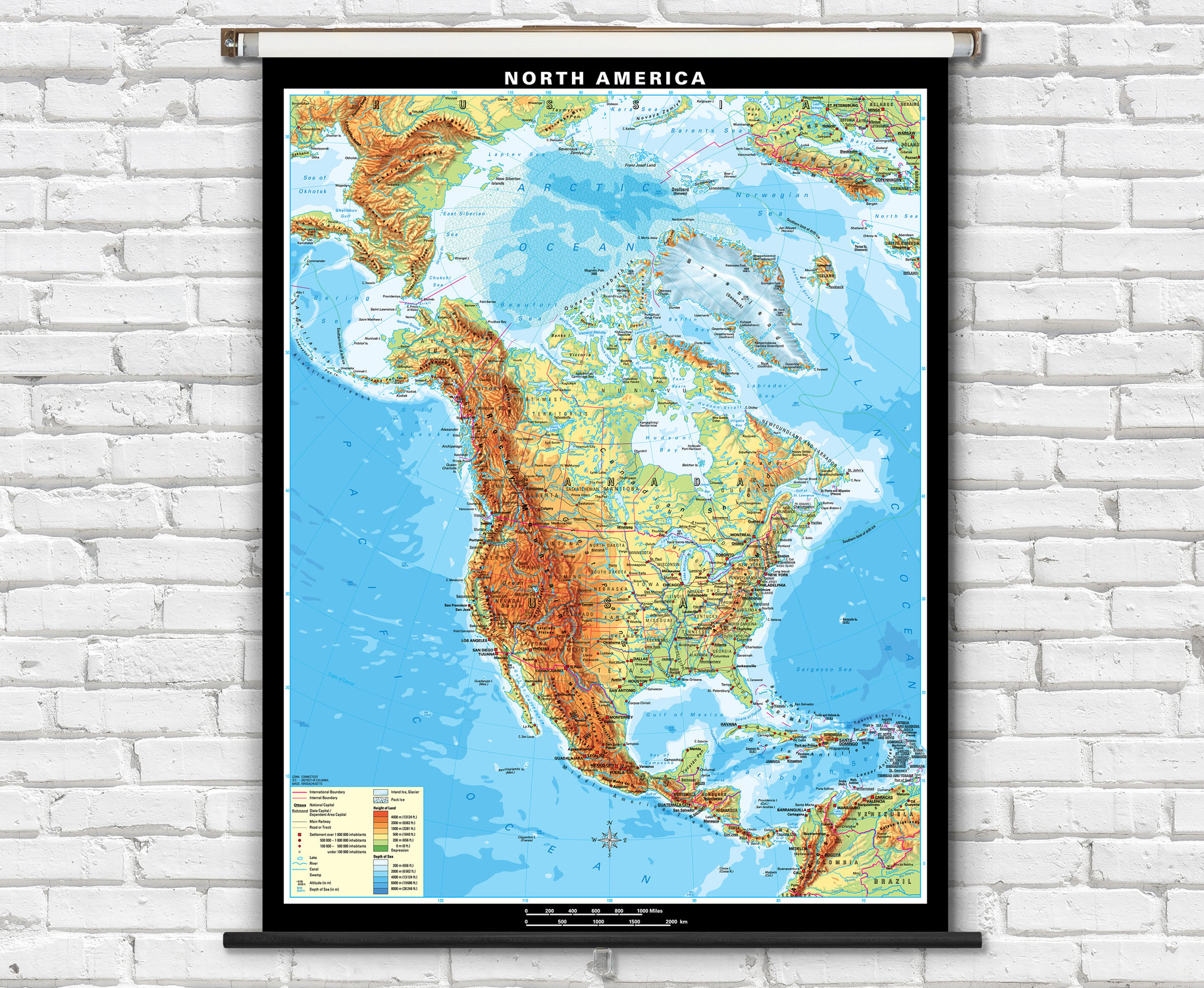
This digital classroom map set contains ten fully interactive U.S. and World wall maps which can be projected on a screen, used with an interactive whiteboard, or viewed on a computer screen. These interactive classroom maps from Klett-Perthes are a highly visually appealing, comprehensive, and flexible tool developed to accommodate a wide array of geography lesson plans. The set provides three political and two physical maps for both the U.S. and world that are designed for three levels of complexity: elementary, intermediate, and advanced.
Klett-Perthes interactive map software gives the user the ability to create their own maps by adding and subtracting layers of information, please see the video example for a detailed demonstration of customized maps. The unparalleled flexibility of this sets customizable map feature along with selection of maps ranging from beginner to advanced enables teachers to meet the needs of students at every ability level. Features an excellent user-friendly interactive interface with zoom and pan tools, a drawing tool to quickly mark or highlight an area, map legends and the ability to save each map as a JPEG image file.
A school wide site license means you can install the software on every machine in the school or make it available on your school network rather than purchase an individual copy for each computer. As this is a stand alone software product that can be installed on individual computers or deployed on a centralized server, an Internet connection is not required for use of this product.
Features the following maps:
- U.S. Political: Beginner Political, Simplified Political, and Advanced Political
- U.S. Physical: Simplified Physical, Advanced Physical
- World Political: Beginner Political, Simplified Political, Advanced Political
- World Physical: Simplified Physical, Advanced Physical

Made In The USA

School Purchase Orders


