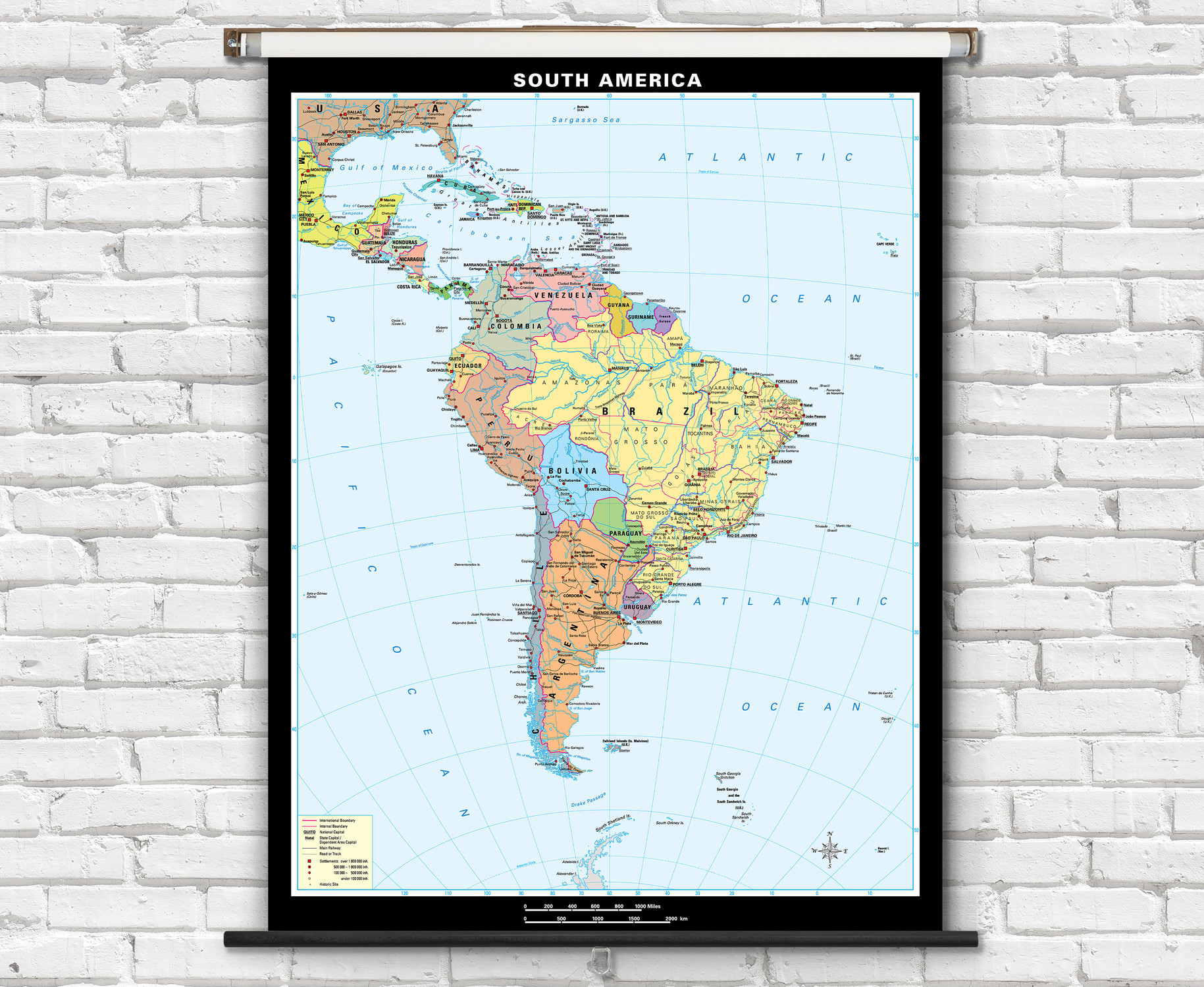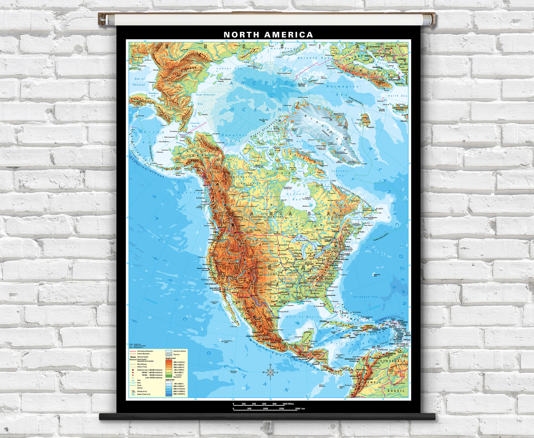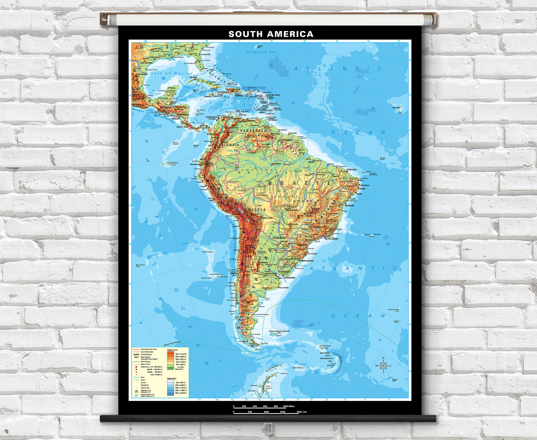
North America Political Classroom Map on Spring Roller by Klett-Perthes
Description
A large classroom political map of North America depicting countries in bright contrasting colors allowing for students to easily identify North American political boundaries. An informative political map of North America that is perfect for teaching geography lessons in the classroom.
- Map labels include countries, U.S. states, Canadian provinces, major cities, national capital cities, seas, rivers, and lakes.
- Features on map include roads, railways, border lines for countries, U.S. states & Canadia provinces, lakes, and rivers.
- Map is fully laminated with a non-tear markable washable surface and then mounted on a durable metal retractable spring roller with metal backboard for pull-down operation.
- Ready to hang on existing classroom map mounting hardware, or wall mounting hardware can be purchased separately.
Superior quality classroom maps from German map publishers Klett-Perthes, following a tradition that is over 200 years old. Order the North America Political Map on Spring Roller today!

Made In The USA

School Purchase Orders


