Oblique Mercator Projection: A Fresh Perspective on Mapping
What is an Oblique Mercator Projection?
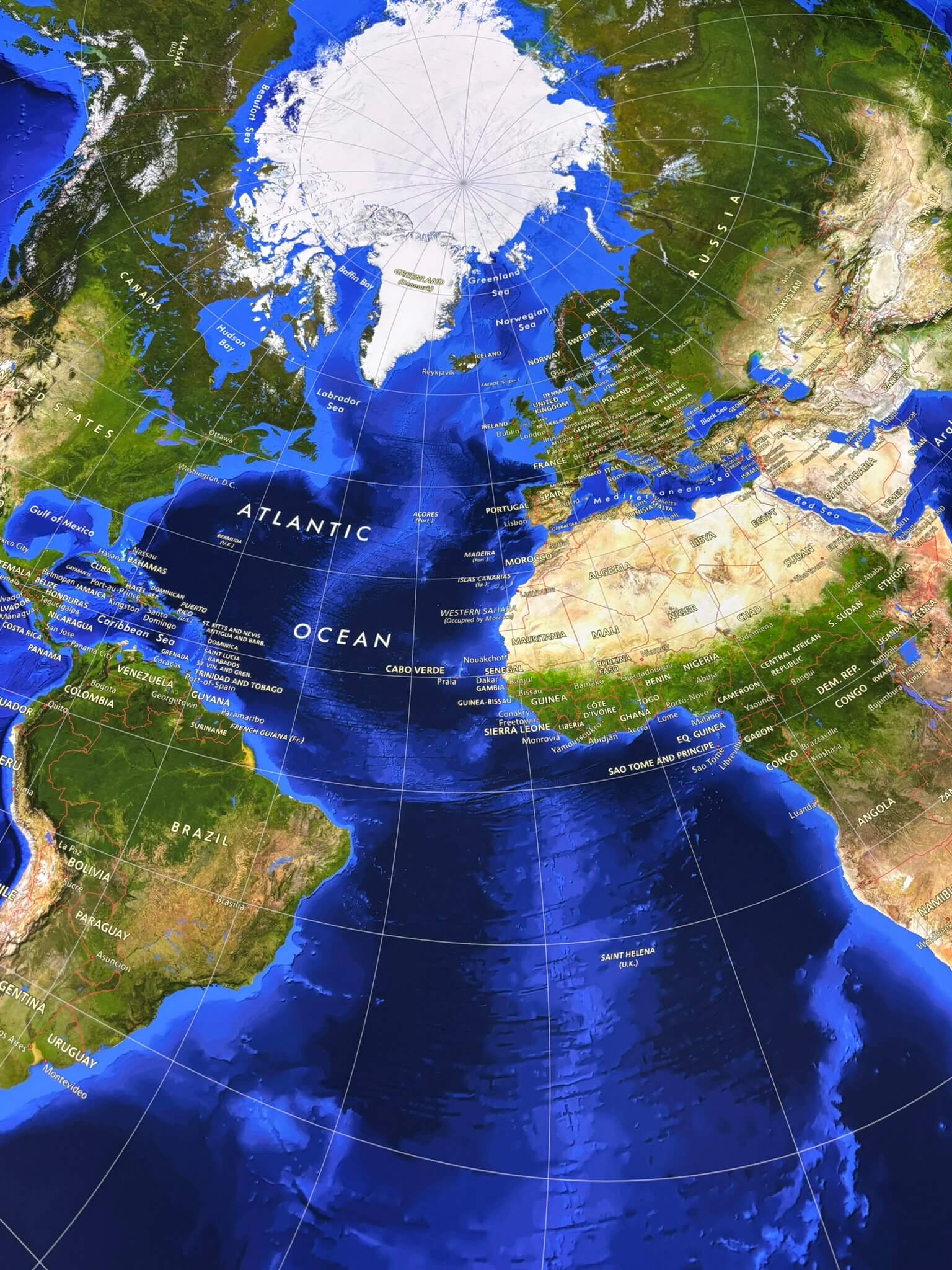
Have you ever looked at a map and wondered why it seems to stretch or distort certain areas? While the Mercator projection is one of the most familiar ways to represent the Earth, it’s not always the best fit—especially when mapping regions that don’t follow a neat north-south or east-west alignment. That’s where the oblique Mercator projection comes in, offering a fascinating alternative that tilts the traditional map’s perspective to better suit specific applications. Most maps align their reference grid with the equator or a central meridian, but an oblique Mercator projection shifts the game by tilting that axis diagonally. Instead of being locked into vertical or horizontal orientations, it follows a great circle path—the shortest route between two points on a sphere.
This makes it particularly useful for mapping areas that don’t neatly conform to standard projections, such as:
✔ Diagonal landmasses (e.g., Alaska or Malaysia)
✔ Aviation and maritime navigation (where great circles represent actual flight paths)
✔ Geological and seismic studies (where precise spatial relationships are critical)
Key Features of an Oblique Mercator Projection
If you’re looking at an oblique Mercator map, here’s what makes it stand out:
🌀 Curved latitude and longitude lines – Unlike the straight grid of a regular Mercator map, an oblique version bends the coordinate lines to match its tilted orientation.
📏 Distortion in different areas – All Mercator-style projections distort size and shape as you move away from the central reference line. But in an oblique version, this distortion shifts, affecting different regions compared to a standard Mercator.
🎯 Better focus on specific regions – By aligning the central axis along a great circle path, this projection reduces distortion for the areas it’s designed to represent.
Why Use an Oblique Mercator Projection?
1️⃣ More Accurate for Certain Geographies – If a region stretches diagonally across the globe, an oblique projection minimizes distortion better than traditional maps.
2️⃣ Perfect for Air and Sea Navigation – Since great circle routes appear as straight lines, pilots and mariners use oblique Mercator maps to plot efficient travel paths.
3️⃣ Essential for Scientific Mapping – Geologists, environmental scientists, and seismologists rely on oblique projections for analyzing spatial data with precision.
A Unique Way to See the World
Mapping the world isn’t just about putting places on paper—it’s about choosing the right projection to highlight what matters most. The oblique Mercator projection is a powerful tool for capturing regions and routes that don’t fit neatly into standard map formats. By shifting the reference axis, it provides a clearer, more useful representation for navigation, scientific research, and specialized cartography.
Next time you see a map that looks tilted or different from what you’re used to, take a closer look—you might just be viewing the world through an oblique Mercator’s unique lens!