Physical Series Customizable Classroom Spring Roller Multi-map Combo Set - by Klett-Perthes
Description
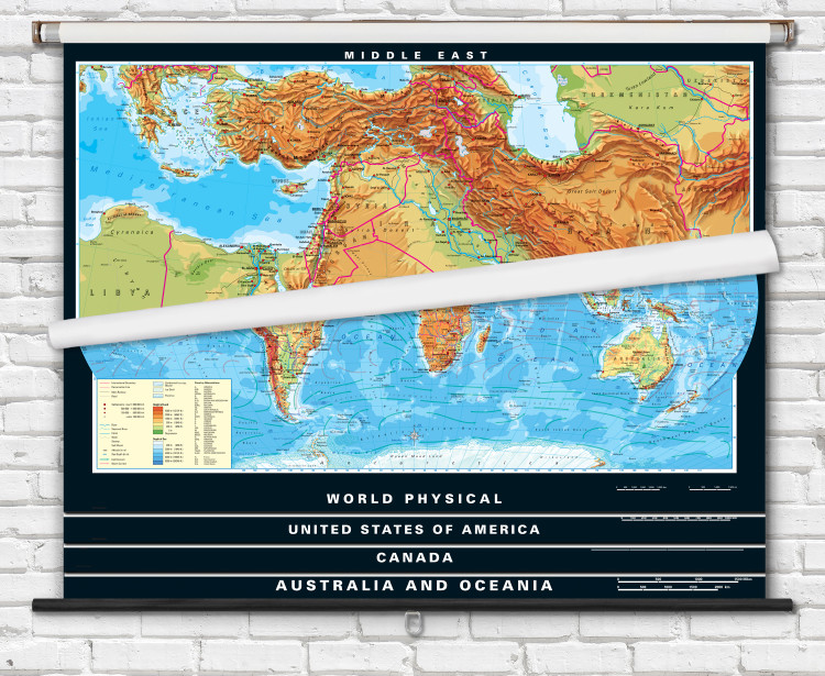
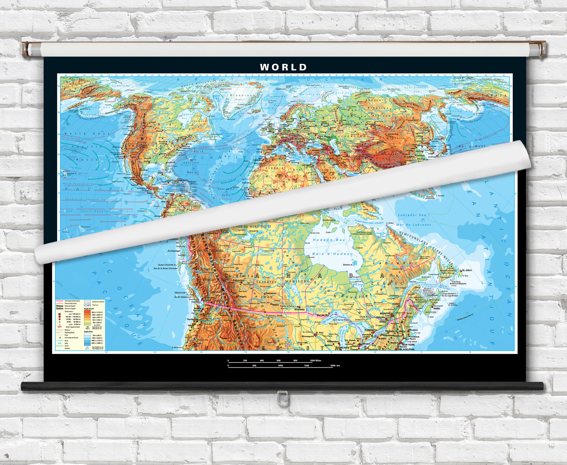
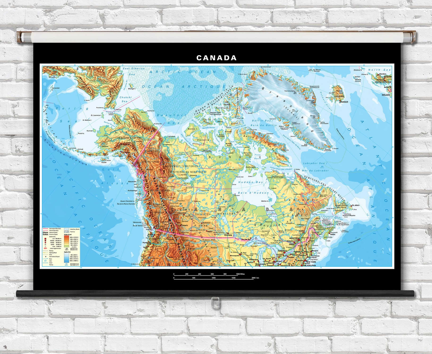
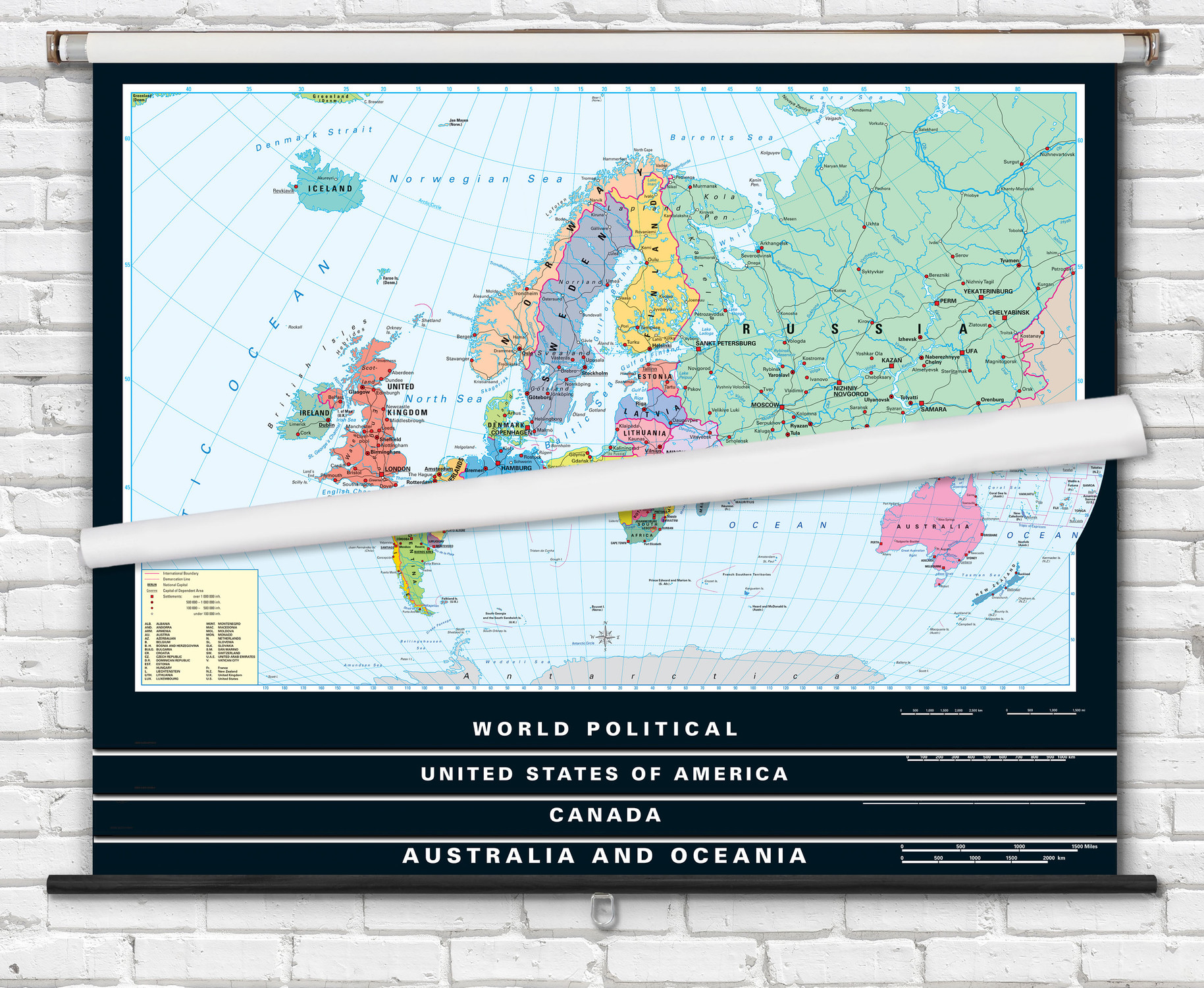
A fully customizable spring roller combo set. Choose any seven maps from the selection above to combine them onto a single retractable spring roller assembly.
Combine any of these titles to create your own custom USA, world and continent map set. Up to 7 maps can be combined on a single spring roller. You can also add a physical map of your state or Canadian province to the custom roller set. View all of our Academia state physical maps
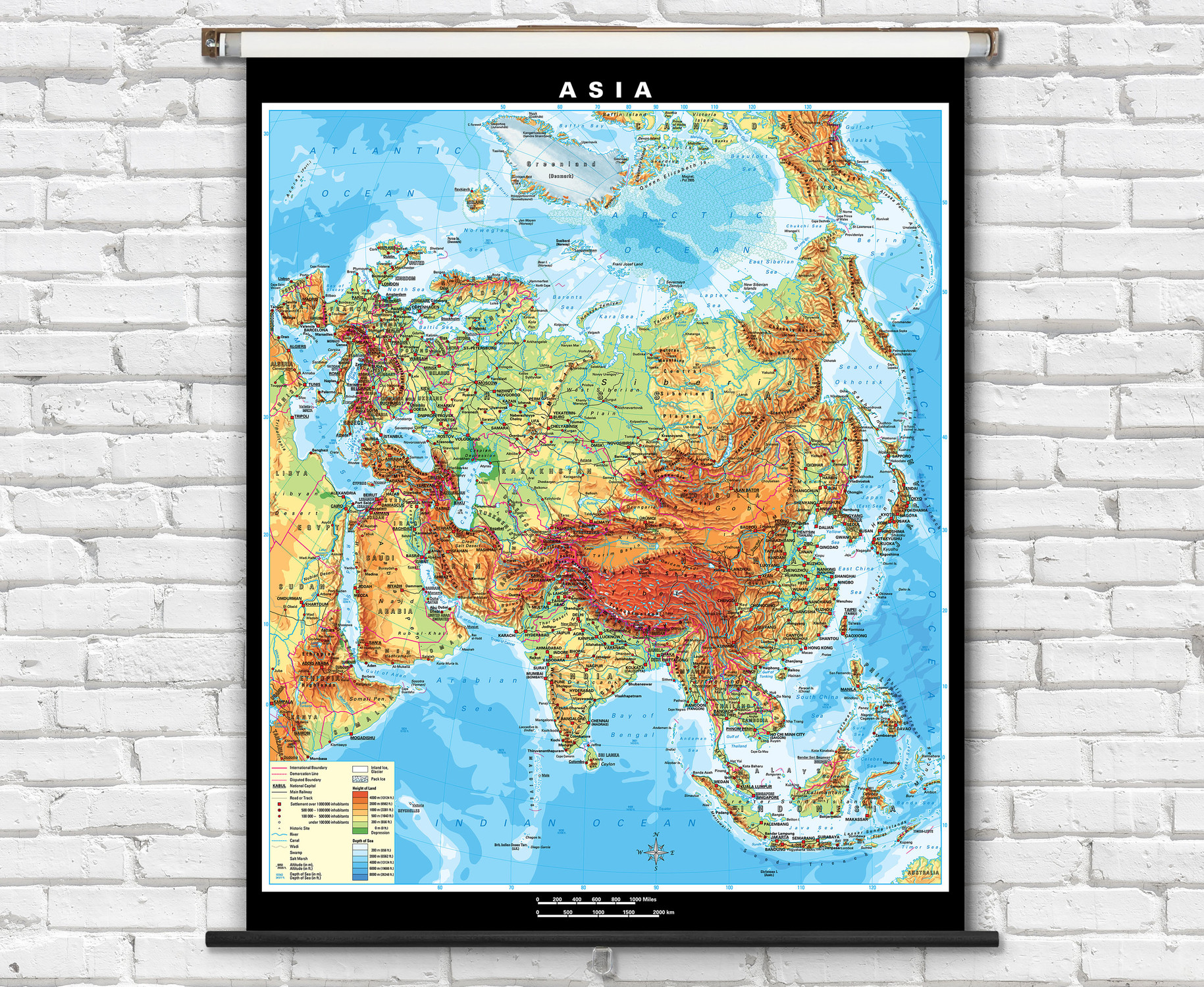
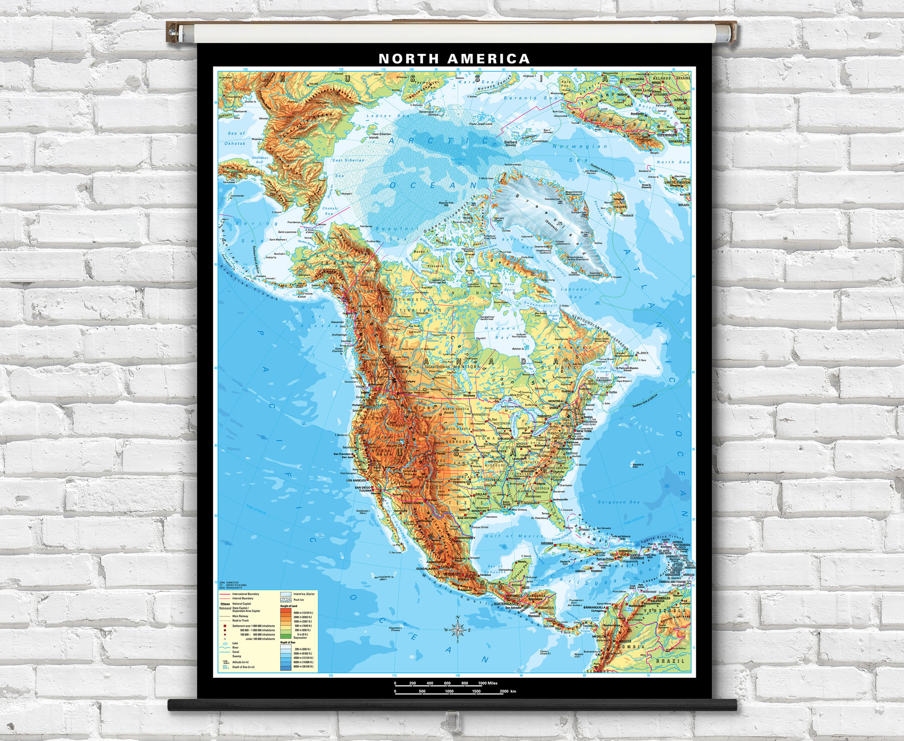
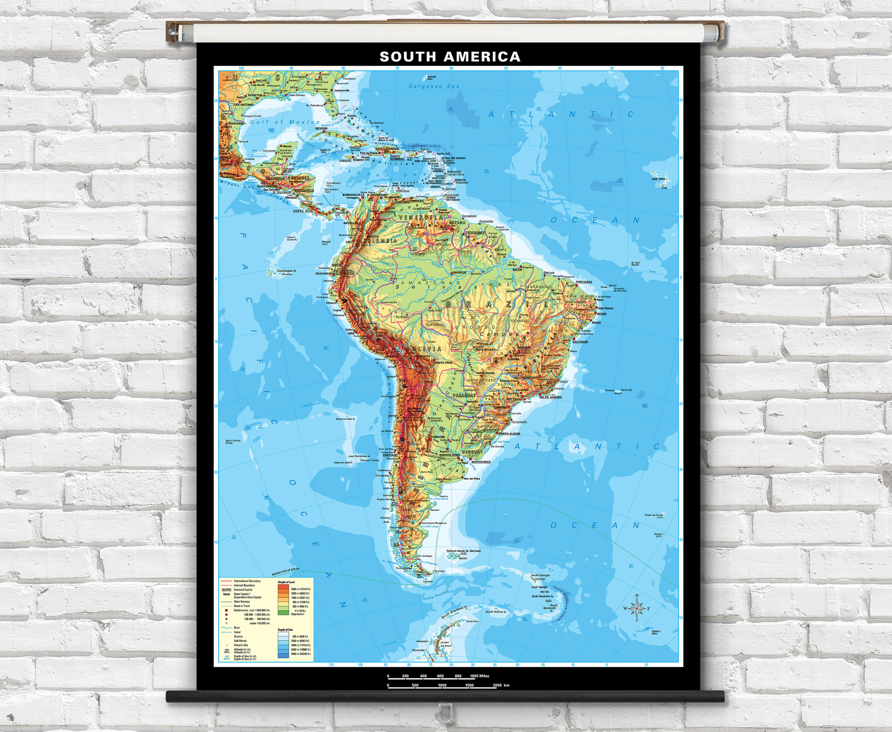
Stunning and highly informative physical wall maps for the classroom including the World, USA, Canada, continents, and regional maps. Each of these maps feature gorgeous hand-drawn shaded relief terrain reminscent of the classic Swiss Topo maps. The detailed hillshading is combined with colorful topographic shading (hypsometric tinting) representing elevation ranges. Ocean and sea bathymetry (water depth) is also colorfully reprsented on each map.
- Map labels include: countries, states, major cities, national capitals, rivers, lakes, islands, seas, deserts, mountain ranges & peaks.
- Map features: country boundary lines, rivers, wadi, roads, railways, canal sea ice, ice and shelves.
These classroom wall maps are made from heavy duty paper and are laminated with a washable dry-erase marker writeable surface, and mounted on pull-down spring rollers for convenient classroom use.
The Klett-Perthes Political Series classroom maps are ideal for teaching a wide range students from grades 4-10+.
Maps measure:
2-4 Map Sets: 63" Wide - included wall mounting hardware: Two-Button Spring Roller Map Mounting Hardware Set
5-8 Map Sets: 53" Wide - included wall mounting hardware: WideBoard Mounting Brackets
If you add a state map to a 4-map set then it becomes a 5-map set with a max width of 53" for each map.
- Spring Roller Mounting - Multi-Map - Combo - The laminated maps are mounted to a heavy-duty pull-down classroom spring roller w/ metal backboard rail for hanging from hooks or using the included wall mounting brackets.
Ships rolled in a durable cardboard tube.
 World PhysicalKP-33175
 United States PhysicalKP-33195
 Canada PhysicalKP-31676
 Africa PhysicalKP-31755
 Asia PhysicalKP-31735
 Australia PhysicalKP-31786
 Europe PhysicalKP-31855
 North America PhysicalKP-31767
 South America PhysicalKP-31775
 Middle East PhysicalKP-31573
 Southwestern Asia PhysicalKP-31695
 USA & Mexico PhysicalKP-31695
 Southwestern Asia PhysicalKP-31695
 Russia PhysicalKP-31896
 Climate of EarthKP-30006
 Earth Science - Plate TectonicsKP-333179
 State PhysicalMap Example
 Canadian ProvinceMap Example

Made In The USA

School Purchase Orders


