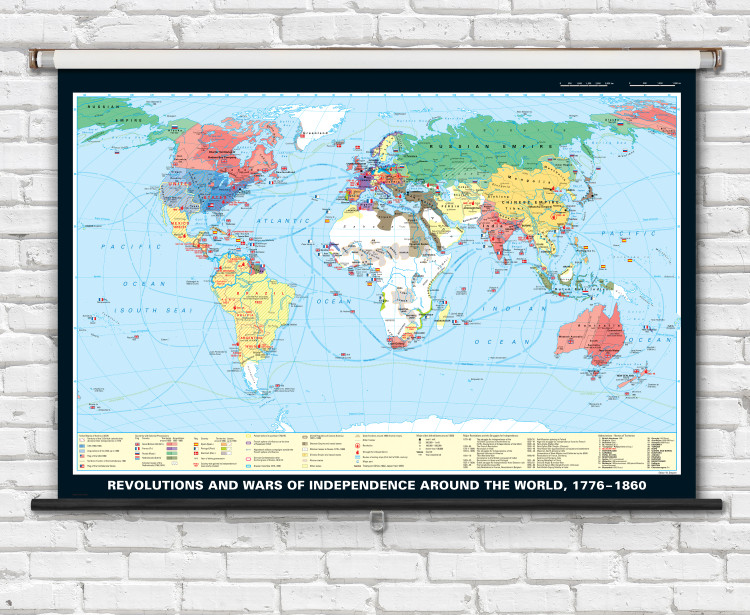
Revolutions and Wars of Independence Around the World, 1776-1860 History Classroom Map - 74" x 50" from Klett-Perthes
Description
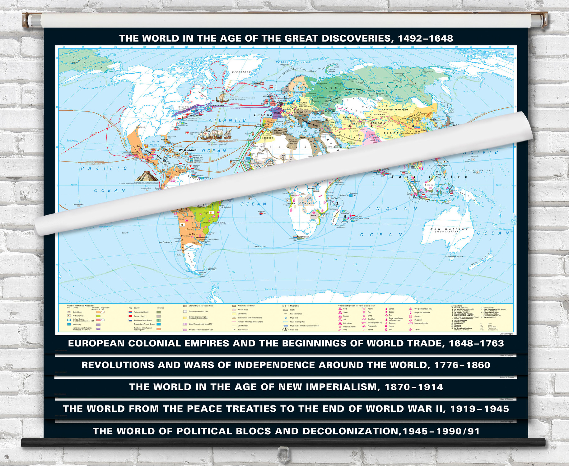
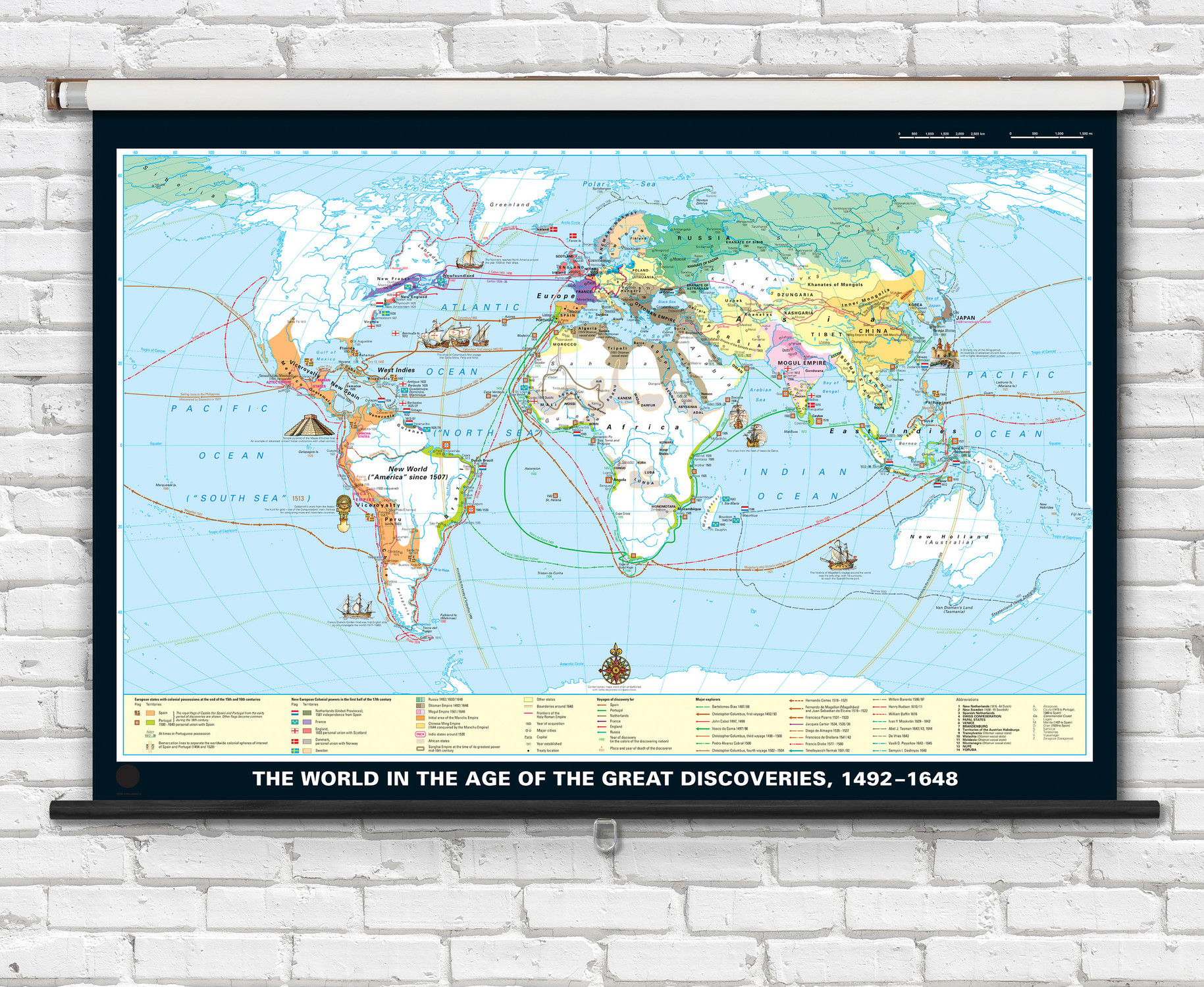
This 74" x 50" classroom map is ideal for teaching about revolutions and wars of independence around the world. A political map of the world that illustrates historical conflicts of revolution and independence around the world using easy-to-follow color-coded legend. The map is available printed on high-quality coated paper, laminated on wood rods, or mounted to a retractable spring roller with metal backboard.
Key features of this map include:
- 74" x 50" size
- Printed on high-quality paper
- Spring roller option for easy storage
- Detailed political map of the world depicting revolution and independence from 1776 to 1860.
- Map legend helps identify countries with colonial possessions including acquisitions & losses, countries that gained independence or newly created countries, revolutions and struggle for independence, dates of conflicts, and routes of sailing ships.
This map is an excellent resource for students studying world history. It is also a great addition to any classroom library.

Made In The USA

School Purchase Orders


