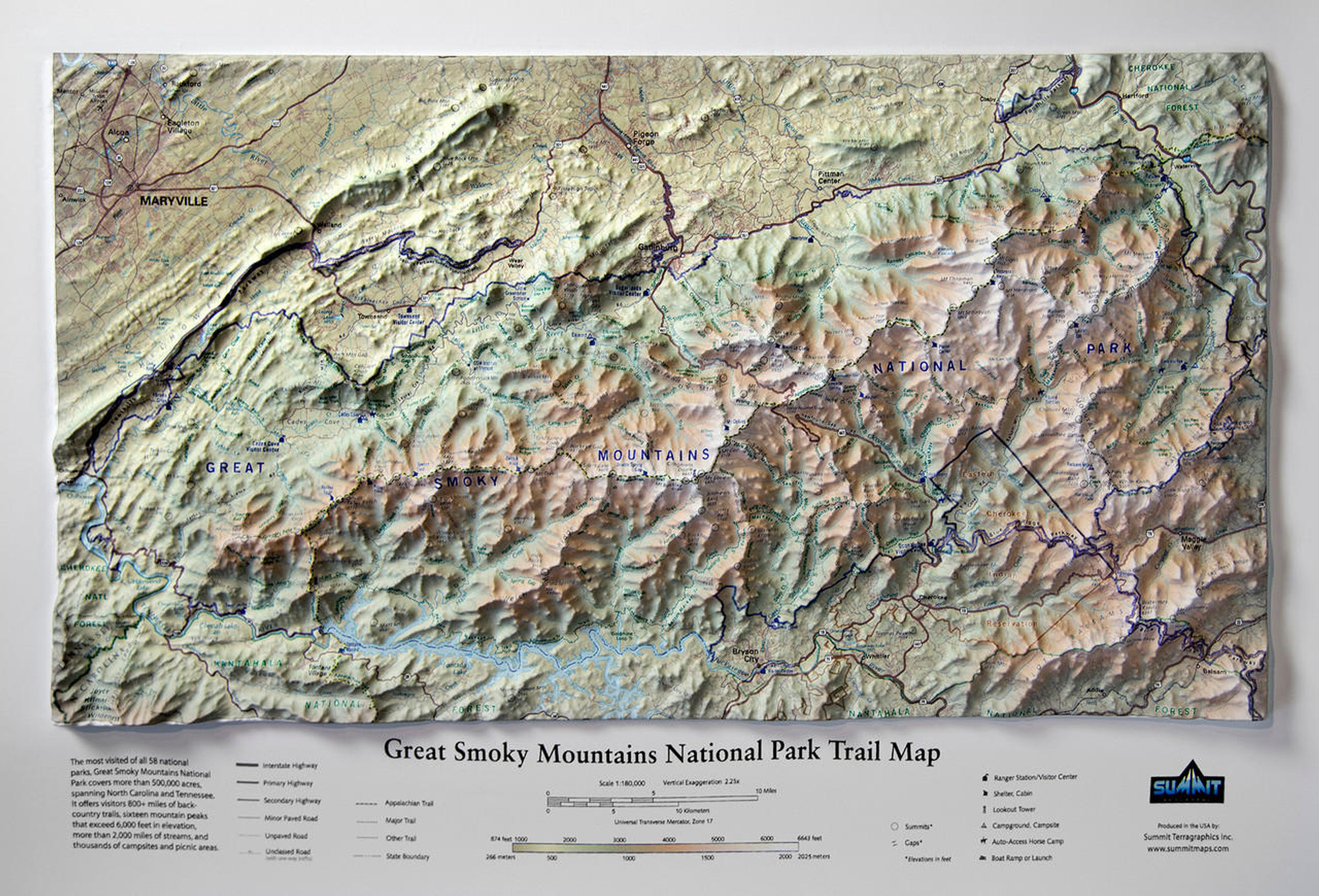
White Mountains 3D Raised Relief Map
Description
This raised relief wall map of the White Mountains provides a strikingly beautiful 3D display. The map marks and labels all 48 of the famous 4000-footers and hundreds of other lower peaks. Trails, shelters, trailheads, key geographic features, roads, creeks/streams/ponds, and other useful information are included for easy reference. Displayed on a wall, this map is ideal for peak baggers, hikers, backpackers, skiers, mountain bikers and other White Mountains outdoor enthusiasts. These raised relief maps are available as unframed or framed in either black aluminum, natural oak, or a black oak wood frame.
Size: 32" x 22"
Scale: 1:125,000
Please note: Framed maps may take up to 3 weeks for delivery

Made In The USA

School Purchase Orders


