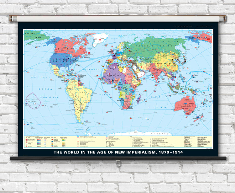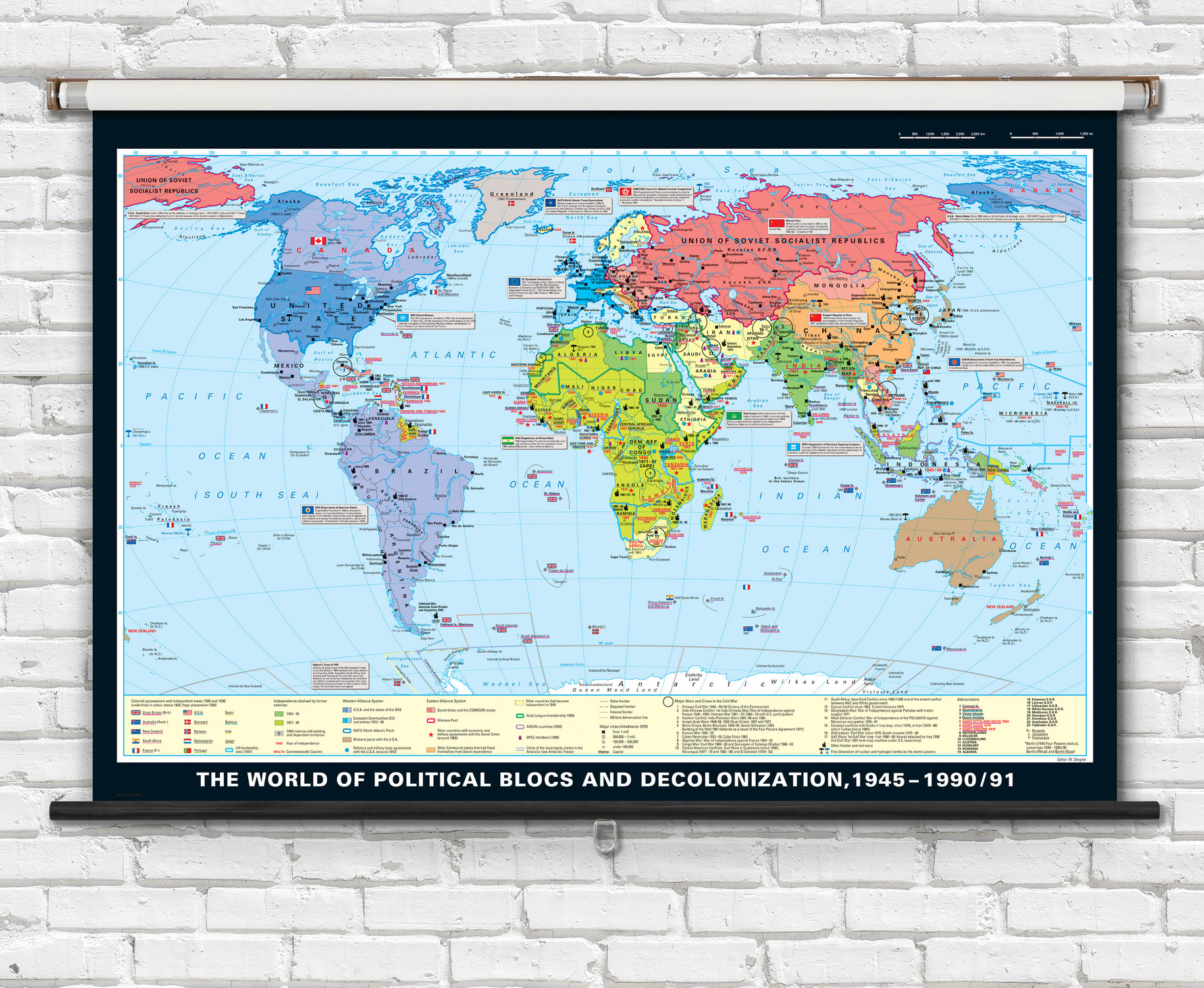
World in the Age of New Imperialism, 1870-1914 History Classroom Map - 74" x 50" from Klett-Perthes
Description
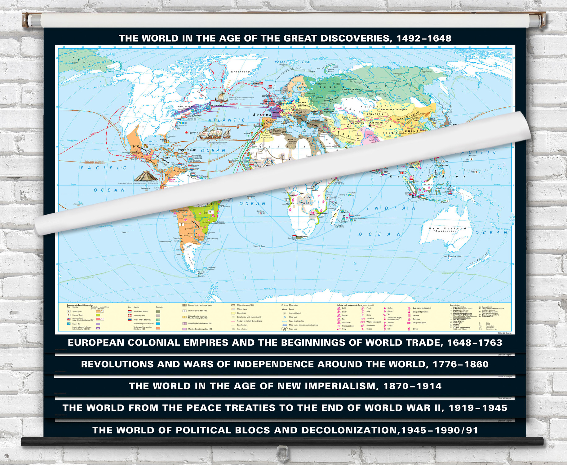
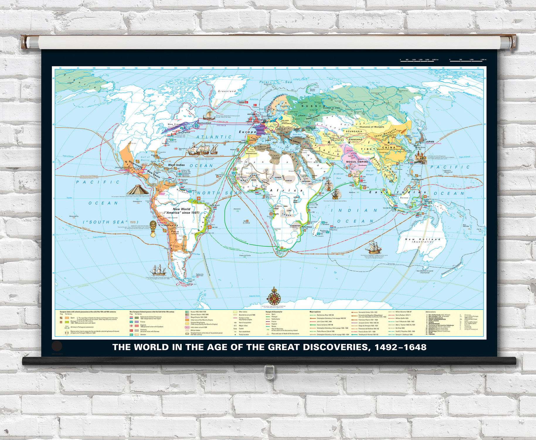
This 74" x 50" classroom map is ideal for teaching about New Imperialism and colonial expansion during the 19th and 20th centuries. A detailed color-coded legend helps students easily identify colonial possessions and spheres of influence across the globe. The history map is available printed on high-quality coated paper, laminated on wood rods, or mounted to a retractable spring roller with metal backboard.
Key features of this map include:
- 74" x 50" size
- Printed on high-quality paper
- Spring roller option for easy storage
- Detailed political map of the world depicting the age of New Imperialism from 1870 to 1914.
- Map legend identifies the following features on this map: colonial possessions & acquisitions, significant wars & crises, main shipping lines, rails ways, naval ports, revolutions, major rebellions, and year of colonial acquisition.
This map is an excellent resource for students studying world history. It is also a great addition to any classroom library.

Made In The USA

School Purchase Orders


